Ankershagen | |
|---|---|
![Gutshaus Rumpshagen [de] in Ankershagen](../I/Rumpshagen_2010-09-03_054.JPG.webp) Gutshaus Rumpshagen in Ankershagen | |
 Coat of arms | |
Location of Ankershagen within Mecklenburgische Seenplatte district 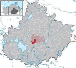 | |
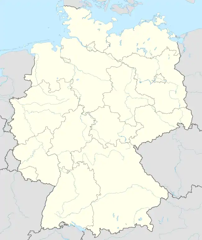  Ankershagen 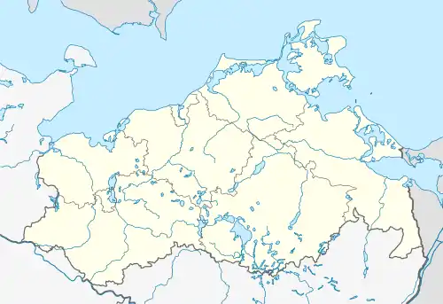 Ankershagen | |
| Coordinates: 53°28′36″N 12°58′0″E / 53.47667°N 12.96667°E | |
| Country | Germany |
| State | Mecklenburg-Vorpommern |
| District | Mecklenburgische Seenplatte |
| Municipal assoc. | Penzliner Land |
| Government | |
| • Mayor | Martin Brummund |
| Area | |
| • Total | 28.18 km2 (10.88 sq mi) |
| Elevation | 58 m (190 ft) |
| Population (2021-12-31)[1] | |
| • Total | 523 |
| • Density | 19/km2 (48/sq mi) |
| Time zone | UTC+01:00 (CET) |
| • Summer (DST) | UTC+02:00 (CEST) |
| Postal codes | 17219 |
| Dialling codes | 039921 |
| Vehicle registration | MÜR |
| Website | www.ankershagen.de |
Ankershagen is a municipality in the Mecklenburgische Seenplatte district, in Mecklenburg-Vorpommern, Germany. Components of the municipality Ankershagen are Ankershagen, Bocksee, Bornhof, Friedrichsfelde and Rumpshagen.
Geography
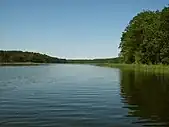
Ankershagen is located directly on the Müritz National Park on an east-west glacial terminal moraine ridge , which forms the watershed between the waters flowing into the Baltic Sea and the North Sea: to the north the streams flow into the Baltic Sea and to the south into the North Sea (Havel and Elbe).
Main sights
- Church Ankershagen[2]
- Manor house Rumpshagen
- Manor house Friedrichsfelde (since 1999 the infopoint of Ankershagen with a chance to see Storks) near the Müritz National Park[3]
- Heinrich Schliemann Museum
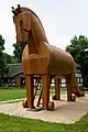 Trojan horse at the museum
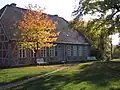 Heinrich Schliemann Museum, formerly the vicarage
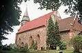 Village church in Ankershagen
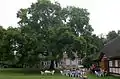 Ash in Ankershagen
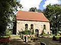 Church in Rumpshagen
People
- Johann Heinrich Voß (German poet and translator) in Ankershagen 1769 - 1792
- Heinrich Schliemann (German businessman and archaeologist, and an advocate of the historical reality of places mentioned in the works of Homer)
References
- ↑ "Bevölkerungsstand der Kreise, Ämter und Gemeinden 2021" (XLS) (in German). Statistisches Amt Mecklenburg-Vorpommern. 2022.
- ↑ the church in Ankershagen 23.11.2010
- ↑ infopoint of Ankershagen in Friedrichsfelde 14.11.2010

This article is issued from Wikipedia. The text is licensed under Creative Commons - Attribution - Sharealike. Additional terms may apply for the media files.