Anul
Anula | |
|---|---|
village | |
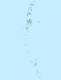 Anul Location in Andaman and Nicobar Islands, India  Anul Anul (India) | |
| Coordinates: 7°21′26″N 93°41′35″E / 7.3572225°N 93.6930618°E | |
| Country | India |
| State | Andaman and Nicobar Islands |
| District | Nicobar |
| Tehsil | Great Nicobar |
| Elevation | 84 m (276 ft) |
| Population (2011) | |
| • Total | 8 |
| Time zone | UTC+5:30 (IST) |
| 2011 census code | 645142 |
Anul is a village in the Nicobar district of Andaman and Nicobar Islands, India. It is located in the Great Nicobar tehsil.[1]
Demographics
The village was affected by the 2004 Indian Ocean earthquake and tsunami.[2] According to the 2011 census of India, only 1 household has survived in Anul. The effective literacy rate (i.e. the literacy rate of population excluding children aged 6 and below) is 42.86%.[3]
| Total | Male | Female | |
|---|---|---|---|
| Population | 8 | 3 | 5 |
| Children aged below 6 years | 1 | 0 | 1 |
| Scheduled caste | 0 | 0 | 0 |
| Scheduled tribe | 8 | 3 | 5 |
| Literates | 3 | 2 | 1 |
| Workers (all) | 6 | 3 | 3 |
| Main workers (total) | 6 | 3 | 3 |
| Main workers: Cultivators | 0 | 0 | 0 |
| Main workers: Agricultural labourers | 0 | 0 | 0 |
| Main workers: Household industry workers | 0 | 0 | 0 |
| Main workers: Other | 6 | 3 | 3 |
| Marginal workers (total) | 0 | 0 | 0 |
| Non-workers | 2 | 0 | 2 |
References
- ↑ "Andaman and Nicobar Islands villages" (PDF). Land Records Information Systems Division, NIC. Archived from the original (PDF) on 4 March 2016. Retrieved 25 July 2015.
- ↑ Use of Space Technology for Disaster Management by Dr. K Vinod Kumar, ISRO.
- 1 2 "District Census Handbook - Andaman & Nicobar Islands" (PDF). 2011 Census of India. Directorate of Census Operations, Andaman & Nicobar Islands. Archived from the original (PDF) on 1 August 2015. Retrieved 21 July 2015.
This article is issued from Wikipedia. The text is licensed under Creative Commons - Attribution - Sharealike. Additional terms may apply for the media files.