Arafo | |
|---|---|
 Flag .svg.png.webp) Coat of arms | |
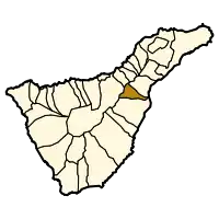 Municipal location in Tenerife | |
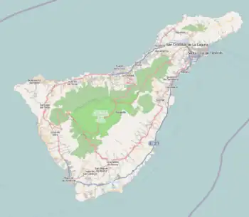 Arafo Location in Tenerife 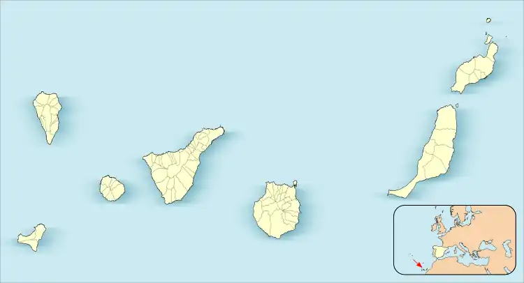 Arafo Arafo (Canary Islands) 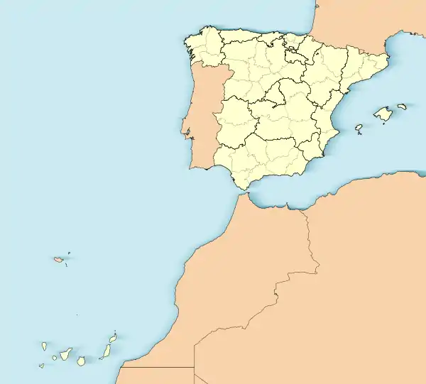 Arafo Arafo (Spain, Canary Islands) | |
| Coordinates: 28°20′24″N 16°25′10″W / 28.34000°N 16.41944°W | |
| Country | |
| Autonomous community | |
| Province | |
| Island | |
| Area | |
| • Total | 33.92 km2 (13.10 sq mi) |
| Elevation | 470 m (1,540 ft) |
| Population (2018)[2] | |
| • Total | 5,562 |
| • Density | 160/km2 (420/sq mi) |
| Climate | Csb |
Arafo is a municipality of the southeastern part of the island of Tenerife in the province of Santa Cruz de Tenerife, on the Canary Islands. The town Arafo is situated 5 km west of the coast town Candelaria and 22 km southwest of Santa Cruz de Tenerife. The TF-1 motorway passes through the eastern part of the municipality.
Historical population
| Year | Population |
|---|---|
| 1991 | 4,200 |
| 1996 | 4,667 |
| 2001 | 4,995 |
| 2002 | 5,156 |
| 2003 | 5,122 |
| 2004 | 5,256 |
| 2005 | 5,276 |
| 2009 | 5,502 |
See also
References
- 1 2 "SUPERFICIE, PERÍMETRO Y ALTITUD DE LOS MUNICIPIOS DE CANARIAS" (in Spanish). Instituto Canario de Estadística (ISTAC).
- ↑ Municipal Register of Spain 2018. National Statistics Institute.
Places adjacent to Arafo | |
|---|---|
This article is issued from Wikipedia. The text is licensed under Creative Commons - Attribution - Sharealike. Additional terms may apply for the media files.