Ariyappampalayam
Palayagalayanur | |
|---|---|
Town Panchayat | |
| Nickname: river town | |
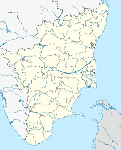 Ariyappampalayam Location in Tamil Nadu, India | |
| Coordinates: 11°23′45″N 77°4′47″E / 11.39583°N 77.07972°E | |
| Country | |
| State | Tamil Nadu |
| District | Erode |
| Founded by | Jawaharlal nehru |
| Government | |
| • Type | Madras state |
| • Body | townpanchayat |
| Area | |
| • Total | 13.4 km2 (5.2 sq mi) |
| Population (2011) | |
| • Total | 15,704 |
| • Density | 1,200/km2 (3,000/sq mi) |
| Languages | |
| • Official | Tamil |
| Time zone | UTC+5:30 (IST) |
| Vehicle registration | TN 36Z |
Ariyappampalayam is a panchayat town in Erode district in the state of Tamil Nadu, India.
Demographics
As of 2001 India census,[1] Ariyappampalayam had a population of 12,274. Males constitute 50% of the population and females 50%. Ariyappampalayam has an average literacy rate of 54%, lower than the national average of 59.5%; with 59% of the males and 41% of females literate. 11% of the population is under 6 years of age.
References
- ↑ "Census of India 2001: Data from the 2001 Census, including cities, villages and towns (Provisional)". Census Commission of India. Archived from the original on 16 June 2004. Retrieved 1 November 2008.
This article is issued from Wikipedia. The text is licensed under Creative Commons - Attribution - Sharealike. Additional terms may apply for the media files.