Arrentela | |
|---|---|
 Coat of arms | |
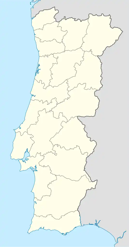 Arrentela Location in Portugal | |
| Coordinates: 38°37′37″N 9°06′11″W / 38.627°N 9.103°W | |
| Country | |
| Region | Lisbon |
| Metropolitan area | Lisbon |
| District | Setúbal |
| Municipality | Seixal |
| Disbanded | 2013 |
| Area | |
| • Total | 9.58 km2 (3.70 sq mi) |
| Population (2011) | |
| • Total | 28,886 |
| • Density | 3,000/km2 (7,800/sq mi) |
| Time zone | UTC±00:00 (WET) |
| • Summer (DST) | UTC+01:00 (WEST) |
| Postal code | P-2840 |
| Website | www.jf-arrentela.pt |
Arrentela is a former civil parish in the municipality (concelho) of Seixal, Lisbon metropolitan area, Portugal. In 2013, the parish merged into the new parish Seixal, Arrentela e Aldeia de Paio Pires.[1] The population in 2011 was 28,886,[2] in an area of 10.17 km².[3] It is situated on the south side of the estuary of the river Tagus.
Localities
The freguesia of Arrentela included the following localities:
- Casal do Marco
- Casal de Santo António
- Cavadas
- Cavaquinhas
- Pinhal dos Frades
- Torre da Marinha
Places of interest
- Moinho do Breyner
Sporting club
References
- ↑ Diário da República. "Law nr. 11-A/2013, pages 552 112-113" (PDF) (in Portuguese). Retrieved 8 July 2014.
- ↑ Instituto Nacional de Estatística
- ↑ Eurostat Archived October 7, 2012, at the Wayback Machine
External links
- Official page of the parish of Arrentela (in Portuguese)
This article is issued from Wikipedia. The text is licensed under Creative Commons - Attribution - Sharealike. Additional terms may apply for the media files.