| Artuby | |
|---|---|
 | |
  | |
| Location | |
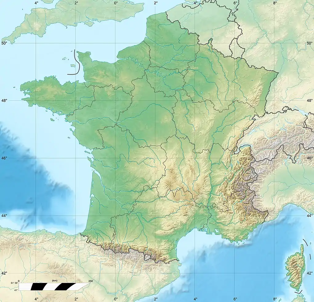
| Country | France |
| Region | Provence-Alpes-Côte d'Azur |
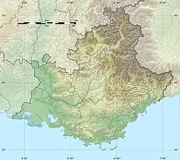
| Departments | |
| Physical characteristics | |
| Source | |
| • location | Peyroules |
| • coordinates | 43°48′50″N 6°42′26″E / 43.814°N 6.7073°E |
| Mouth | |
• location | Verdon |
• coordinates | 43°44′23″N 6°22′43″E / 43.7397°N 6.3787°E |
| Length | 54 km (34 mi)[1] |
| Basin size | 373 km2 (144 sq mi)[2] |
| Basin features | |
| Progression | Verdon→ Durance→ Rhône→ Mediterranean Sea |
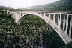
Artuby (Artubi in Provençal) is a river in France, crossing the Alpes-de-Haute-Provence, Alpes-Maritimes and Var departments, and a sub-tributary of Rhône by the Verdon and Durance. It is 53.8 km (33.4 mi) long.[1] Its drainage basin is 373 km2 (144 sq mi).[2]
References
- 1 2 Sandre. "Fiche cours d'eau - L'Artuby (X24-0400)". Retrieved 26 August 2020.
- 1 2 Bassin versant : Artuby (L'), Observatoire Régional Eau et Milieux Aquatiques en PACA
This article is issued from Wikipedia. The text is licensed under Creative Commons - Attribution - Sharealike. Additional terms may apply for the media files.