| Asgarby | |
|---|---|
 Church of St Andrew, Asgarby | |
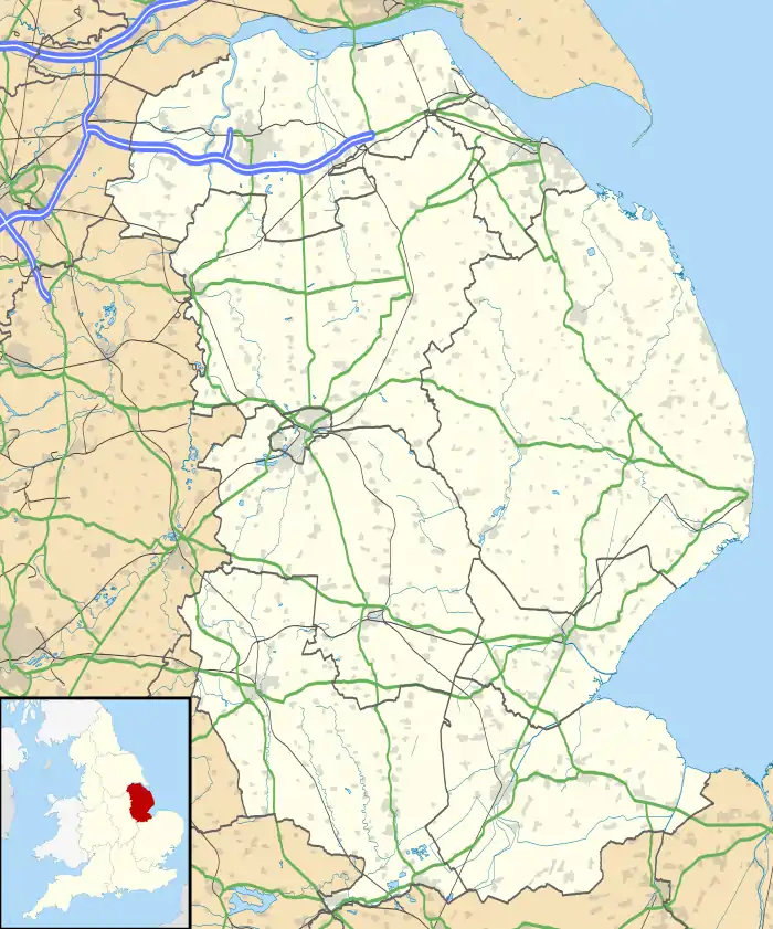 Asgarby Location within Lincolnshire | |
| OS grid reference | TF116452 |
| • London | 100 mi (160 km) S |
| Civil parish | |
| District | |
| Shire county | |
| Region | |
| Country | England |
| Sovereign state | United Kingdom |
| Post town | Sleaford |
| Postcode district | NG34 |
| Police | Lincolnshire |
| Fire | Lincolnshire |
| Ambulance | East Midlands |
| UK Parliament | |
Asgarby is a village in the civil parish of Asgarby and Howell, in the North Kesteven district of Lincolnshire, England. It is situated on the A17 Boston to Newark road, 3 miles (5 km) east from Sleaford and 2 miles (3 km) north-west from Heckington. In 1921 the parish had a population of 63.[1] On 1 April 1931 the parish was abolished to form "Asgarby and Howell".[2]
Asgarby Grade I listed Anglican church is dedicated to St Andrew.[3] The church has a crocketed spire and buttresses, a Decorated nave, and an Early English priests' doorway.[4]
References
- ↑ "Population statistics Asgarby CP/AP through time". A Vision of Britain through Time. Retrieved 26 December 2023.
- ↑ "Relationships and changes Asgarby CP/AP through time". A Vision of Britain through Time. Retrieved 26 December 2023.
- ↑ Historic England. "St Andrew (1061832)". National Heritage List for England. Retrieved 9 July 2011.
- ↑ Cox, J. Charles (1916) Lincolnshire p. 47; Methuen & Co. Ltd
External links
 Media related to Asgarby, North Kesteven at Wikimedia Commons
- Asgarby: historical and genealogical information at GENUKI.
This article is issued from Wikipedia. The text is licensed under Creative Commons - Attribution - Sharealike. Additional terms may apply for the media files.