Athikottai | |
|---|---|
Village | |
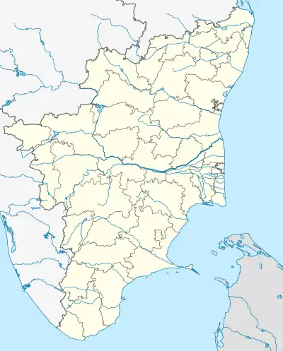 Athikottai Location in Tamil Nadu, India  Athikottai Athikottai (India) | |
| Coordinates: 10°37′59.1″N 79°24′26.9″E / 10.633083°N 79.407472°E | |
| Country | |
| State | Tamil Nadu |
| District | Tiruvarur |
| Taluk | Mannargudi |
| Population (2001) | |
| • Total | 1,100 |
| Languages | |
| • Official | Tamil |
| Time zone | UTC+5:30 (IST) |
| PIN | 614018 |
| Telephone code | 04367 |
| Vehicle registration | TN-50 |
| Coastline | 75 kilometres (47 mi) |
| Nearest city | Tiruchirappalli (Region) |
| Literacy | 90% |
| Lok Sabha constituency | Thanjavur |
| Rajya Sabha constituency | Mannargudi |
| Climate | 15 - 38 (Köppen) |
| Avg. summer temperature | 38 °C (100 °F) |
| Avg. winter temperature | 20 °C (68 °F) |
Athikkottai is a village under Serumangalam Panchayats in Needamangalam Panchayats Union and Mannargudi Taluk, Tiruvarur District, Tamil Nadu, India.[1] The main activities of this village is agriculture. Other villagers are working in Singapore and Malaysia. More than 1100 people live in this village, with 90% of them belonging to Kallar (Mukkulathor) community.
References
This article is issued from Wikipedia. The text is licensed under Creative Commons - Attribution - Sharealike. Additional terms may apply for the media files.