Atmautluak Airport | |||||||||||
|---|---|---|---|---|---|---|---|---|---|---|---|
 | |||||||||||
| Summary | |||||||||||
| Airport type | Public | ||||||||||
| Owner | Alaska DOT&PF - Central Region | ||||||||||
| Serves | Atmautluak, Alaska | ||||||||||
| Elevation AMSL | 17 ft / 5 m | ||||||||||
| Coordinates | 60°52′00″N 162°16′23″W / 60.86667°N 162.27306°W | ||||||||||
| Map | |||||||||||
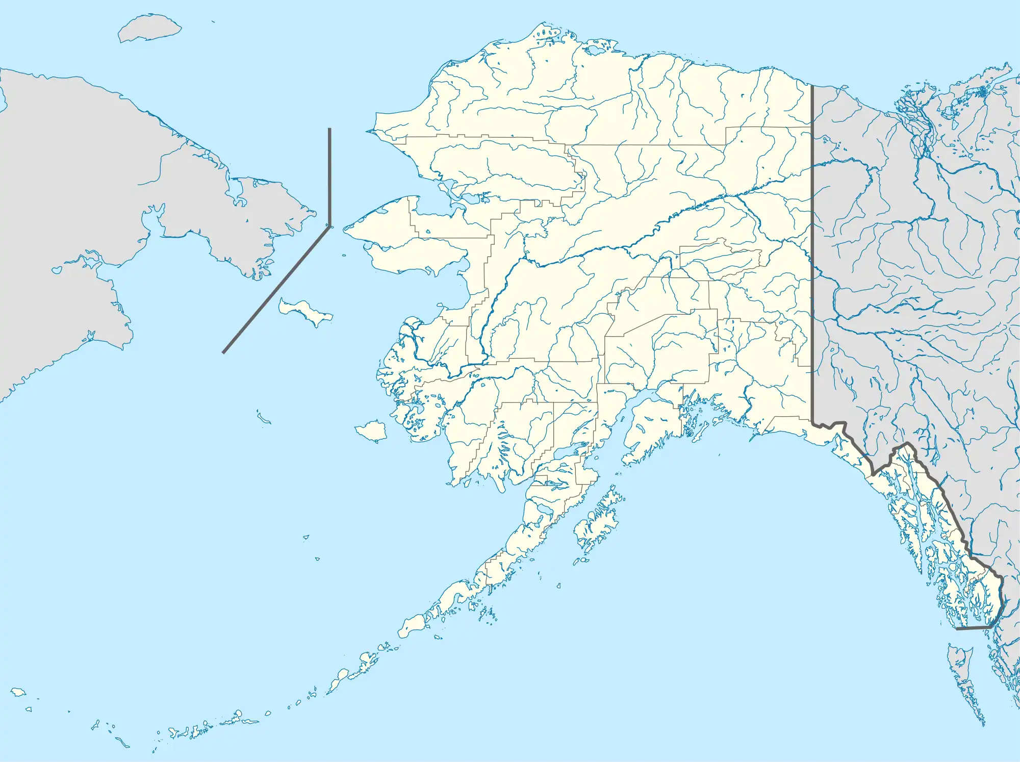 ATT Location of airport in Alaska | |||||||||||
| Runways | |||||||||||
| |||||||||||
| Statistics (2015) | |||||||||||
| |||||||||||
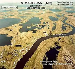
Atmautluak Airport (IATA: ATT[3], FAA LID: 4A2) is a state-owned public-use airport located in Atmautluak, in the Bethel Census Area of the U.S. state of Alaska.[1]
As per Federal Aviation Administration records, this airport had 2,613 passenger boardings (enplanements) in calendar year 2007, an increase of 29% from the 2,018 enplanements in 2006.[2]
Facilities
Atmautluak Airport has one runway designated 15/33 with a 3,000 by 75 ft (914 x 23 m) gravel surface.[1] The runway was previously 2,000 by 30 ft[4] until it was expanded by the state.[5]
Airlines and destinations
| Airlines | Destinations |
|---|---|
| Grant Aviation | Bethel, Nunapitchuk[6] |
| Ryan Air | Marshall, St. Mary's[7] |
| Yute Commuter Service | Bethel, Kasigluk, Nunapitchuk[8] |
Prior to its bankruptcy and cessation of all operations, Ravn Alaska served the airport.
Statistics
| Carrier | Passengers (arriving and departing) |
|---|---|
| Yute Air | 2,850(59.77%) |
| Hageland | 1,620(34.05%) |
| Grant | 270(5.67%) |
| Era | 20(0.50%) |
| Rank | City | Airport | Passengers |
|---|---|---|---|
| 1 | Bethel, AK | Bethel Airport (BET) | 2,270 |
| 2 | Toksook Bay, AK | Toksook Bay Airport (OOK) | 40 |
| 3 | Kasigluk, AK | Kasigluk Airport (KUK) | 30 |
| 4 | Nunapitchuk, AK | Nunapitchuk (NUP) | 10 |
| 5 | Kwethluk, AK | Kwethluk (KWT) | 10 |
| 6 | Napaskiak, AK | Napaskiak Airport (PKA) | 10 |
| 7 | Tuntutuliak, AK | Tuntutuliak Airport (WTL) | 10 |
| 8 | Quinhagak, AK | Quinhagak Airport (KWN) | 10 |
See also
References
- 1 2 3 FAA Airport Form 5010 for 4A2 PDF, effective January 5, 2017.
- 1 2 Preliminary CY 2007 Passenger Boarding and All-Cargo Data. Federal Aviation Administration. January 11, 2017.
- ↑ ATT / 4A2 - Atmautluak, Alaska. Great Circle Mapper. Retrieved 2008-09-17.
- ↑ Airport diagram (GIF). Federal Aviation Administration, Alaskan Region. 2003-10-30.
- ↑ Atmautluak Airport Reconstruction Archived 2009-07-06 at the Wayback Machine (PDF). State of Alaska Capital Project Summary. Department of Transportation and Public Facilities. 2001-12-13.
- ↑ "Grant Schedule". (retrieved September 10, 2022)
- ↑ "Passenger Schedules". Ryan Air Services. Retrieved December 20, 2020.
- ↑ "Yute Schedule". Retrieved Sep 12, 2002.
- 1 2 "Atmautluak, AK: Atmautluak (ATT)". Bureau of Transportation Statistics (BTS), Research and Innovative Technology Administration (RITA), U.S. Department of Transportation. December 2015. Retrieved January 11, 2017.
External links
- FAA Alaska airport diagram (GIF)
- Resources for this airport:
- FAA airport information for 4A2
- AirNav airport information for 4A2
- ASN accident history for ATT
- FlightAware airport information and live flight tracker
- SkyVector aeronautical chart for 4A2
This article is issued from Wikipedia. The text is licensed under Creative Commons - Attribution - Sharealike. Additional terms may apply for the media files.