Augusta, West Virginia | |
|---|---|
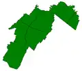
 Location of Augusta in West Virginia  Augusta, West Virginia (the United States) | |
| Coordinates: 39°17.7′N 78°38.3′W / 39.2950°N 78.6383°W | |
| Country | United States |
| State | West Virginia |
| County | Hampshire |
| Elevation | 1,299 ft (396 m) |
| Time zone | UTC-5 (Eastern (EST)) |
| • Summer (DST) | UTC-4 (EDT) |
| ZIP code | 26704 |
| Area code | 304 |
| GNIS feature ID | 1535081[1] |
Augusta is an unincorporated community in central Hampshire County, West Virginia, United States. It is located along the Northwestern Turnpike (U.S. Route 50) at the northern terminus of Augusta-Ford Hill Road (County Route 7) between Shanks and Pleasant Dale, east of Romney. According to the 2000 census, the Augusta community has a population of 4,728.[2]
Historic site
- French's Mill (1911), Augusta-Ford Hill Road (CR 7)
References
- 1 2 U.S. Geological Survey Geographic Names Information System: Augusta, West Virginia. Retrieved on 2008-10-30.
- ↑ Augusta, West Virginia ZIP code profile Archived December 28, 2005, at the Wayback Machine, DownloadZIPCode.com Archived December 30, 2005, at the Wayback Machine. Accessed 2008-01-19.
External links
 Media related to Augusta, West Virginia at Wikimedia Commons
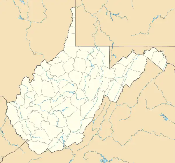
Municipalities and communities of Hampshire County, West Virginia, United States | ||
|---|---|---|
| City |  Map of West Virginia highlighting Hampshire County | |
| Town | ||
| CDPs | ||
| Unincorporated communities |
| |
This article is issued from Wikipedia. The text is licensed under Creative Commons - Attribution - Sharealike. Additional terms may apply for the media files.