| Axelgold Range | |
|---|---|
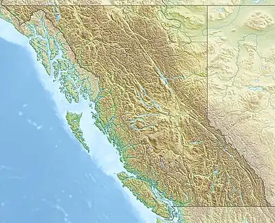 Location of the Axelgold Range in British Columbia | |
| Highest point | |
| Elevation | 1,635 m (5,364 ft) |
| Geography | |
| Country | Canada |
| Province | British Columbia |
| Range coordinates | 56°02′N 126°05′W / 56.033°N 126.083°W |
| Parent range | Hogem Ranges |
The Axelgold Range is a subrange of the Hogem Ranges of the Omineca Mountains, located between Ominicetla Creek and upper Omineca River in northern British Columbia, Canada.
External links
- "Axelgold Range". BC Geographical Names.
- Axelgold Range in the Canadian Mountain Encyclopedia
This article is issued from Wikipedia. The text is licensed under Creative Commons - Attribution - Sharealike. Additional terms may apply for the media files.