Aylesbury, New Zealand | |
|---|---|
 Aylesbury | |
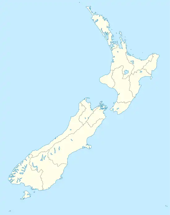
| Coordinates: 43°32′S 172°16′E / 43.533°S 172.267°E | |
| Country | New Zealand |
| Region | Canterbury |
| Territorial authority | Selwyn District |
| Time zone | UTC+12 (NZST) |
| • Summer (DST) | UTC+13 (NZDT) |
Aylesbury is a settlement in the Canterbury region of New Zealand.[1] It can be found between the towns of Rolleston and Kirwee.[1]
The epicentre of the 7.1 magnitude Canterbury earthquake on 4 September 2010, was very close to Aylesbury and the largest land surface fractures were in this locality.[2]
References
- 1 2 The Cyclopedia of New Zealand. New Zealand: The Cyclopedia Company Limited. 1903.
- ↑ "City awakes to billion-dollar aftershock". New Zealand Herald. 5 September 2010. Retrieved 19 January 2021.
This article is issued from Wikipedia. The text is licensed under Creative Commons - Attribution - Sharealike. Additional terms may apply for the media files.