Bahía Inglesa | |
|---|---|
Locality | |
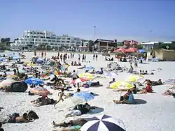 Beach in Bahía Inglesa. | |
 Bahía Inglesa | |
| Coordinates: 27°07′51″S 70°52′00″W / 27.13083°S 70.86667°W | |
| Country | |
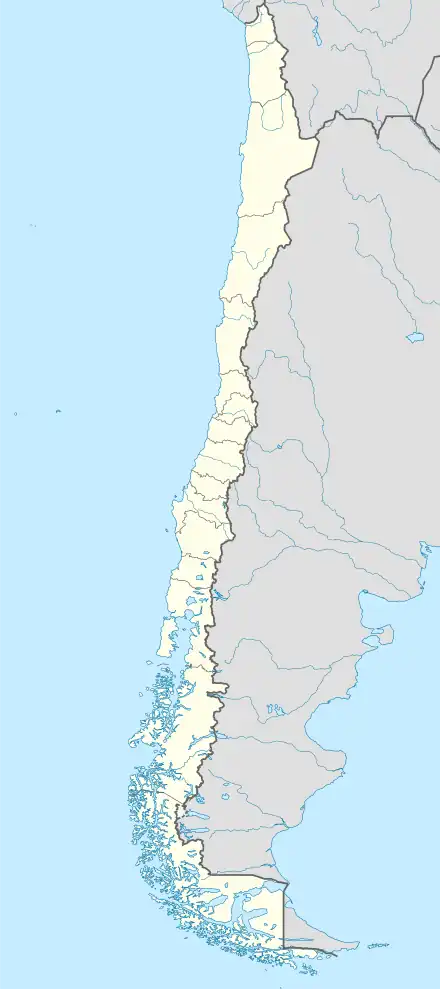
| Region | Atacama |
| Province | Copiapó |
| Commune | Caldera |
| Area | |
| • Total | 6.36 km2 (2.46 sq mi) |
| Elevation | 10 m (30 ft) |
| Population (2017) | |
| • Total | 535 |
| • Density | 84/km2 (220/sq mi) |
Bahia Inglesa ("English Bay") is a locality located near the port of Caldera in Atacama Region, Chile. It is situated at an average elevation of 10 meters above the sea level.[1] As of 2017, it had a population of 535.[2]
References
- ↑ "Bahía Inglesa topographic map, elevation, terrain". Topographic maps. Retrieved 27 September 2023.
- ↑ "Bahía Inglesa (Copiapó, Atacama, Chile) - Population Statistics, Charts, Map, Location, Weather and Web Information". www.citypopulation.de. Retrieved 27 September 2023.
This article is issued from Wikipedia. The text is licensed under Creative Commons - Attribution - Sharealike. Additional terms may apply for the media files.