Baie-Comeau Airport | |||||||||||
|---|---|---|---|---|---|---|---|---|---|---|---|
_(5956634000)_(2).jpg.webp) | |||||||||||
| Summary | |||||||||||
| Airport type | Public | ||||||||||
| Owner/Operator | MRC Manicouagan | ||||||||||
| Location | Baie-Comeau, Quebec | ||||||||||
| Time zone | EST (UTC−05:00) | ||||||||||
| • Summer (DST) | EDT (UTC−04:00) | ||||||||||
| Elevation AMSL | 71 ft / 22 m | ||||||||||
| Coordinates | 49°07′57″N 068°12′16″W / 49.13250°N 68.20444°W | ||||||||||
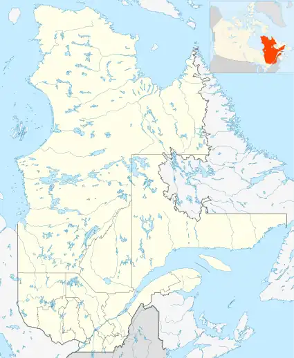
| Map | |||||||||||
 CYBC | |||||||||||
| Runways | |||||||||||
| |||||||||||
| Statistics (2010) | |||||||||||
| |||||||||||
Source: Canada Flight Supplement[1] and Transport Canada[2] Environment Canada[3] Movements from Statistics Canada.[4] | |||||||||||
Baie-Comeau Airport (IATA: YBC, ICAO: CYBC) is located 5 nautical miles (9.3 km; 5.8 mi) south southwest of Baie-Comeau, Quebec, near the St. Lawrence River.
Airlines and destinations
| Airlines | Destinations |
|---|---|
| Air Liaison | Blanc Sablon, Havre Saint-Pierre, La Romaine, Montréal–Trudeau, Natashquan, Port-Menier, Quebec City, Saint-Augustin, Sept-Îles |
See also
References
- ↑ Canada Flight Supplement. Effective 0901Z 16 July 2020 to 0901Z 10 September 2020.
- ↑ Airport Divestiture Status Report Archived September 30, 2015, at the Wayback Machine
- ↑ Synoptic/Metstat Station Information Archived June 27, 2013, at the Wayback Machine
- ↑ Total aircraft movements by class of operation
External links
- Accident history for YBC at Aviation Safety Network
- Past three hours METARs, SPECI and current TAFs for Baie-Comeau Airport from Nav Canada as available.
| By name | |
|---|---|
| By location indicator | |
| By province/territory | |
| By area | |
| National Airports System | |
| Related | |
| |
This article is issued from Wikipedia. The text is licensed under Creative Commons - Attribution - Sharealike. Additional terms may apply for the media files.