Bajung
बाजुङ | |
|---|---|
 A view of Bajung from Bajung Kot | |
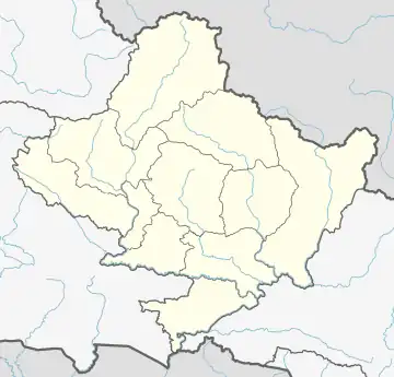 Bajung Location in Nepal 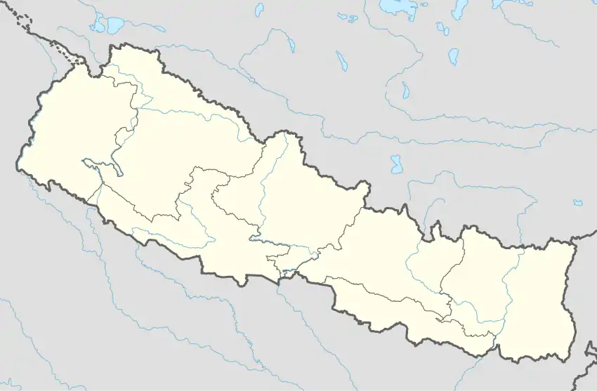 Bajung Bajung (Nepal) | |
| Coordinates: 28°17′N 83°43′E / 28.28°N 83.71°E | |
| Country | |
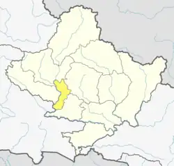
| Zone | Dhawalagiri Zone |
| District | Parbat District |
| Population (2011) | |
| • Total | 4,228 (Male−1,806 & Female−2,422) |
| Time zone | UTC+5:45 (Nepal Time) |
| Area code | 067 |
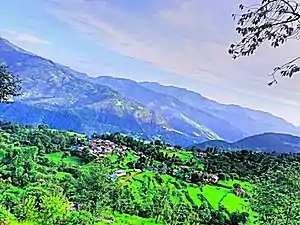
A View of Bajung
Bajung is a village development committee in Parbat District in the Dhawalagiri Zone of Western Development Region, Nepal. It is surrounded by Deupurkot to the north-east, Tilahar to the south-east, Durlung to the south-west and Kyang to the north-west. It is popularly said to be extended from the top of Maidan, a hill-top with historical identity to the basin of Modi River. At the time of the 2011 Nepal census it had a population of 4228 people living in 1,076 individual households.
Like all VDCs of Nepal, it comprises nine wards:
References
- ↑ "Nepal Census 2001", Nepal's Village Development Committees, Digital Himalaya, archived from the original on 12 October 2008, retrieved 15 November 2009.
- ↑ http://cbs.gov.np/image/data/Population/VDC-Municipality%20in%20detail/44%20Parbat_VDCLevelReport.pdf Archived 2016-07-18 at the Wayback Machine | Government of Nepal National Planning Commission Secretariat Central Bureau of Statistics
External links
- UN map of the municipalities of Parbat District
- Government of Nepal National Planning Commission Secretariat Central Bureau of Statistics
This article is issued from Wikipedia. The text is licensed under Creative Commons - Attribution - Sharealike. Additional terms may apply for the media files.