Banagram Union
বনগ্রাম | |
|---|---|
.jpg.webp) A picture of Banagram Union Council | |
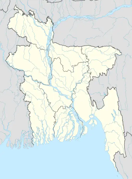 Banagram Union Banagram Union in map | |
| Coordinates: 24°20′24″N 90°47′53″E / 24.3399°N 90.7981°E | |
| Country | Bangladesh |
| Upazila | Katiadi |
| District | Kishoreganj |
| Government | |
| • Type | local government |
| • Body | |
| Area | |
| • Total | 15 km2 (6 sq mi) |
| Population (2011) | |
| • Total | 35,248 |
| Time zone | UTC+6 |
| Website | www |
Banagram Union is a union parishad of Katiadi Upazila under Kishoreganj District of Dhaka Division.[1]
References
- ↑ বনগ্রাম ইউনিয়ন. Banagram Union. Retrieved 2021-07-31.
This article is issued from Wikipedia. The text is licensed under Creative Commons - Attribution - Sharealike. Additional terms may apply for the media files.