Banan
بنان | |
|---|---|
Town | |
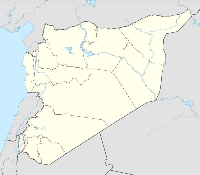 Banan Location of Banan in Syria | |
| Coordinates: 35°58′00″N 37°18′00″E / 35.966667°N 37.3°E | |
| Country | |
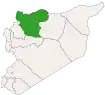
| Governorate | Aleppo |
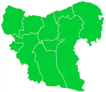
| District | al-Safira |
| Subdistrict | Banan |
| Elevation | 508 m (1,667 ft) |
| Population (2004)[1] | 4,186 |
| Time zone | UTC+2 (EET) |
| • Summer (DST) | UTC+3 (EEST) |
Banan (Arabic: بنان) is a town in the Aleppo Governorate. It is the administrative center of a nahiya with the same name, and part of the As-Safira District.
Geography
The town is located to the southwest of the Sabkhat al-Jabbul, with an altitude of 508 meters.[2] It is 23 km to the southeast of Aleppo, and 282 km from the capital Damascus.
Population
According to the 2004 census, the population was 4186, including 2171 males and 2015 females.[1]
Transportation
The town was served by Aleppo International Airport.[2]
References
- 1 2 "2004 Census Data for Nahiya Banan" (in Arabic). Syrian Central Bureau of Statistics. Archived from the original on 2016-06-25. Retrieved 2017-05-31. Also available in English: UN OCHA. "2004 Census Data". Humanitarian Data Exchange.
- 1 2 "Banan, Syria Page". www.fallingrain.com. Retrieved 31 May 2017.
Capital: Aleppo | ||||||||||||||||||||
|   | |||||||||||||||||||
|
| ||||||||||||||||||||
| ||||||||||||||||||||
| ||||||||||||||||||||
| ||||||||||||||||||||
| ||||||||||||||||||||
| ||||||||||||||||||||
| ||||||||||||||||||||
| ||||||||||||||||||||
This article is issued from Wikipedia. The text is licensed under Creative Commons - Attribution - Sharealike. Additional terms may apply for the media files.