Bangkalan | |
|---|---|
Town | |
| Coordinates: 7°01′31″S 112°45′07″E / 7.025313°S 112.751930°E | |
| Country | Indonesia |
| Region | Java |
| Province | East Java |
| Regency | Bangkalan Regency |
| Area | |
| • Total | 35.02 km2 (13.52 sq mi) |
| Population (2020 Census) | |
| • Total | 86,250 |
| • Density | 2,500/km2 (6,400/sq mi) |
| Time zone | UTC+7 (IWST) |
| Area code | (+62) 31 |
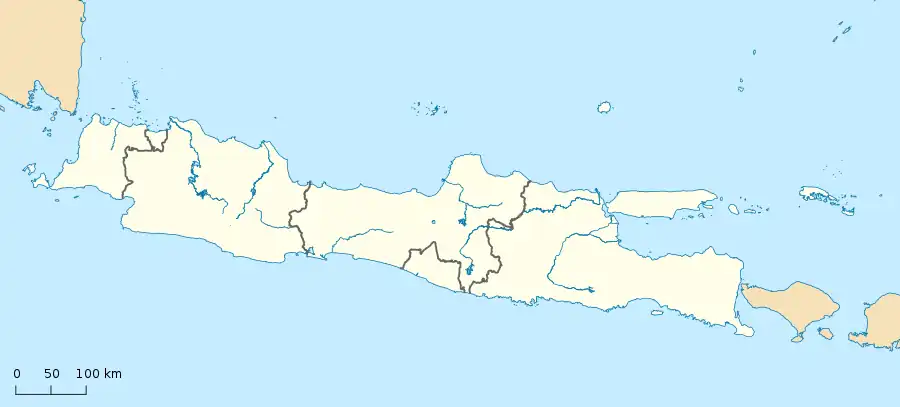
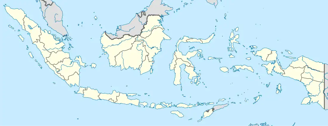

Bangkalan is a town on the western coast of Madura Island in Indonesia, the government seat of the Bangkalan Regency.
Tourism
Mount Jaddih is 10 kilometres from Bangkalan and can be accessed by a motorcycle to the mountain top to see Bangkalan town and Suramadu Bridge. The 500-hectare limestone hill of Mount Jaddih also offers a spring-water swimming pool for free. Other objects of interest to tourists near Bangkalan are a lighthouse from the Dutch colonial era (15 kilometers), Rongkang Beach (20 kilometers), and the religious site of Mount Geger (60 kilometers).[1]
Suramadu Bridge to Java
The Suramadu Bridge (Indonesian: Jembatan Suramadu), also known as the Surabaya–Madura Bridge, connects the south of Bangkalan Regency on Madura to the city of Surabaya on the mainland of Java.
Climate
Bangkalan has a tropical monsoon climate (Am) with moderate to little rainfall from June to October and heavy rainfall from November to May.
| Climate data for Bangkalan | |||||||||||||
|---|---|---|---|---|---|---|---|---|---|---|---|---|---|
| Month | Jan | Feb | Mar | Apr | May | Jun | Jul | Aug | Sep | Oct | Nov | Dec | Year |
| Mean daily maximum °C (°F) | 30.7 (87.3) |
30.8 (87.4) |
31.0 (87.8) |
31.6 (88.9) |
31.8 (89.2) |
31.5 (88.7) |
31.0 (87.8) |
31.6 (88.9) |
32.3 (90.1) |
33.2 (91.8) |
33.0 (91.4) |
31.3 (88.3) |
31.7 (89.0) |
| Daily mean °C (°F) | 27.2 (81.0) |
27.2 (81.0) |
27.3 (81.1) |
27.7 (81.9) |
27.7 (81.9) |
27.2 (81.0) |
26.6 (79.9) |
26.9 (80.4) |
27.5 (81.5) |
28.7 (83.7) |
28.6 (83.5) |
27.5 (81.5) |
27.5 (81.5) |
| Mean daily minimum °C (°F) | 23.8 (74.8) |
23.6 (74.5) |
23.6 (74.5) |
23.8 (74.8) |
23.6 (74.5) |
22.9 (73.2) |
22.3 (72.1) |
22.3 (72.1) |
22.8 (73.0) |
24.2 (75.6) |
24.3 (75.7) |
23.8 (74.8) |
23.4 (74.1) |
| Average rainfall mm (inches) | 289 (11.4) |
236 (9.3) |
252 (9.9) |
218 (8.6) |
164 (6.5) |
98 (3.9) |
54 (2.1) |
36 (1.4) |
33 (1.3) |
65 (2.6) |
141 (5.6) |
252 (9.9) |
1,838 (72.5) |
| Source: Climate-Data.org[2] | |||||||||||||
References
- ↑ Musthofa Bisri (August 11, 2014). "Mount Jaddih, New Tourism Spot of Bangkalan".
- ↑ "Climate: Bangkalan". Climate-Data.org. Retrieved 15 November 2020.
- Witton, Patrick (2003). Indonesia. Melbourne: Lonely Planet. p. 166. ISBN 1-74059-154-2.