Baradi | |
|---|---|
village | |
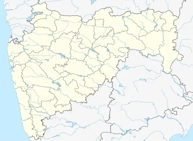 Baradi Location in Maharashtra, India  Baradi Baradi (India) | |
| Coordinates: 20°07′12″N 72°48′37″E / 20.1199843°N 72.8101887°E | |
| Country | India |
| State | Maharashtra |
| District | Palghar |
| Taluka | Talasari |
| Elevation | 49 m (161 ft) |
| Population (2011) | |
| • Total | 3,418 |
| Time zone | UTC+5:30 (IST) |
| 2011 census code | 551560 |
Baradi is a village in the Palghar district of Maharashtra, India. It is located in the Talasari taluka.[1]
Demographics
According to the 2011 census of India, Baradi has 697 households. The effective literacy rate (i.e. the literacy rate of population excluding children aged 6 and below) is 53.78%.[2]
| Total | Male | Female | |
|---|---|---|---|
| Population | 3418 | 1666 | 1752 |
| Children aged below 6 years | 564 | 282 | 282 |
| Scheduled caste | 0 | 0 | 0 |
| Scheduled tribe | 3386 | 1647 | 1739 |
| Literates | 1535 | 897 | 638 |
| Workers (all) | 1611 | 893 | 718 |
| Main workers (total) | 907 | 607 | 300 |
| Main workers: Cultivators | 325 | 220 | 105 |
| Main workers: Agricultural labourers | 348 | 244 | 104 |
| Main workers: Household industry workers | 2 | 2 | 0 |
| Main workers: Other | 232 | 141 | 91 |
| Marginal workers (total) | 704 | 286 | 418 |
| Marginal workers: Cultivators | 34 | 13 | 21 |
| Marginal workers: Agricultural labourers | 607 | 239 | 368 |
| Marginal workers: Household industry workers | 4 | 1 | 3 |
| Marginal workers: Others | 59 | 33 | 26 |
| Non-workers | 1807 | 773 | 1034 |
References
- ↑ "Maharashtra villages" (PDF). Land Records Information Systems Division, NIC. Archived from the original (PDF) on 4 March 2016. Retrieved 17 August 2015.
- 1 2 "District census data". 2011 Census of India. Directorate of Census Operations. Archived from the original on 2 October 2015. Retrieved 17 August 2015.
This article is issued from Wikipedia. The text is licensed under Creative Commons - Attribution - Sharealike. Additional terms may apply for the media files.