 Barakuni Island Location on the Mafia Archipelago | |
| Geography | |
|---|---|
| Location | Sea of Zanj |
| Coordinates | 7°43′26″S 39°45′01″E / 7.72389°S 39.75028°E |
| Archipelago | The Mafia Archipelago |
| Length | 0.3 km (0.19 mi) |
| Width | 0.2 km (0.12 mi) |
| Administration | |
| Region | Pwani Region |
| District | Mafia District |
| Ward | Kirongwe |
| Demographics | |
| Languages | Swahili |
| Ethnic groups | Matumbi, Ndengereko & Rufiji |
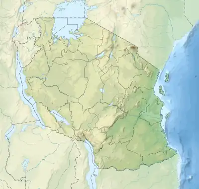
Barakuni Island or in some maps as Mbarakuni Island (Kisiwa cha Barakuni, in Swahili) is a protected island of the Mafia Archipelago located in Kirongwe ward of Mafia District in southern Pwani Region of Tanzania. The island is not part of the Mafia Island Marine Park.[1] [2][3][4]
References
- ↑ "Mbarakuni Island Marine Reserve". Retrieved 2023-09-11.
- ↑ "Mbarakuni Island". Retrieved 2023-09-11.
- ↑ "The Effects of Deforestation in Mlola Forest Reserves, Mafia District, Tanzania". Retrieved 2023-09-03.
- ↑ Chami, Felix A. "The Early Iron Age on Mafia island and its relationship with the mainland." AZANIA: Journal of the British Institute in Eastern Africa 34.1 (1999): 1-10.
This article is issued from Wikipedia. The text is licensed under Creative Commons - Attribution - Sharealike. Additional terms may apply for the media files.