Bárcena de Cicero | |
|---|---|
 | |
 Flag  Coat of arms | |
_Mapa.svg.png.webp) | |
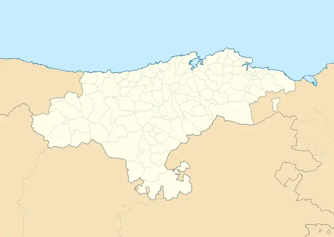 Bárcena de Cicero Location within Cantabria  Bárcena de Cicero Bárcena de Cicero (Spain) | |
| Coordinates: 43°25′30″N 3°31′16″W / 43.42500°N 3.52111°W | |
| Country | |
| Autonomous community | |
| Province | |
| Comarca | Trasmiera |
| Judicial district | Santoña |
| Capital | Gama |
| Government | |
| • Alcalde | Gumersindo Ranero Lavín (2007) (PRC) |
| Area | |
| • Total | 36.63 km2 (14.14 sq mi) |
| Elevation | 10 m (30 ft) |
| Population (2018)[1] | |
| • Total | 4,186 |
| • Density | 110/km2 (300/sq mi) |
| Time zone | UTC+1 (CET) |
| • Summer (DST) | UTC+2 (CEST) |
| Website | Official website |
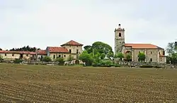
Bárcena de Cicero is a municipality located in the autonomous community of Cantabria, Spain. According to the 2007 census, the city has a population of 2.546 inhabitants. Its capital is Gama.
Towns
- Adal
- Ambrosero
- Bárcena de Cicero
- Cicero
- Gama (Capital)
- Moncalián
- Treto
- Vidular
References
- ↑ Municipal Register of Spain 2018. National Statistics Institute.
This article is issued from Wikipedia. The text is licensed under Creative Commons - Attribution - Sharealike. Additional terms may apply for the media files.