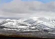
| Beinn Bhrotain | |
|---|---|
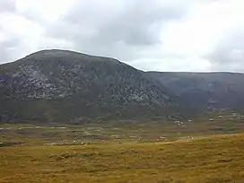 View across Glen Dee to Beinn Bhrotain, September 2000 | |
| Highest point | |
| Elevation | 1,157 m (3,796 ft)[1] |
| Prominence | 258 m (846 ft)[2] |
| Listing | Munro, Marilyn |
| Naming | |
| English translation | Hill of the mastiff |
| Language of name | Gaelic |
| Geography | |
 Beinn Bhrotain | |
| OS grid | NN954923 |
| Topo map | OS Landranger 43 and 36 |
| Climbing | |
| Easiest route | Hike |
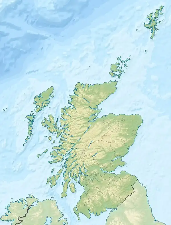
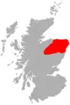
Beinn Bhrotain (Scottish Gaelic: Hill of the mastiff) or Ben Vrottan is a Scottish mountain in the Cairngorms range, 18 kilometres west of Braemar in the county of Aberdeenshire.
See also
References
![]() Media related to Beinn Bhrotain at Wikimedia Commons
Media related to Beinn Bhrotain at Wikimedia Commons
- ↑ "walkhighlands Beinn Bhrotain". walkhighlands.co.uk. 2013. Retrieved 21 December 2013.
- ↑ "Beinn Bhrotain, Scotland". Peakbagger.com.
 |  | ||
57°00′38″N 3°42′33″W / 57.01056°N 3.70917°W
This article is issued from Wikipedia. The text is licensed under Creative Commons - Attribution - Sharealike. Additional terms may apply for the media files.