| Bettles Bay State Marine Park | |
|---|---|
  | |
| Nearest city | Whittier |
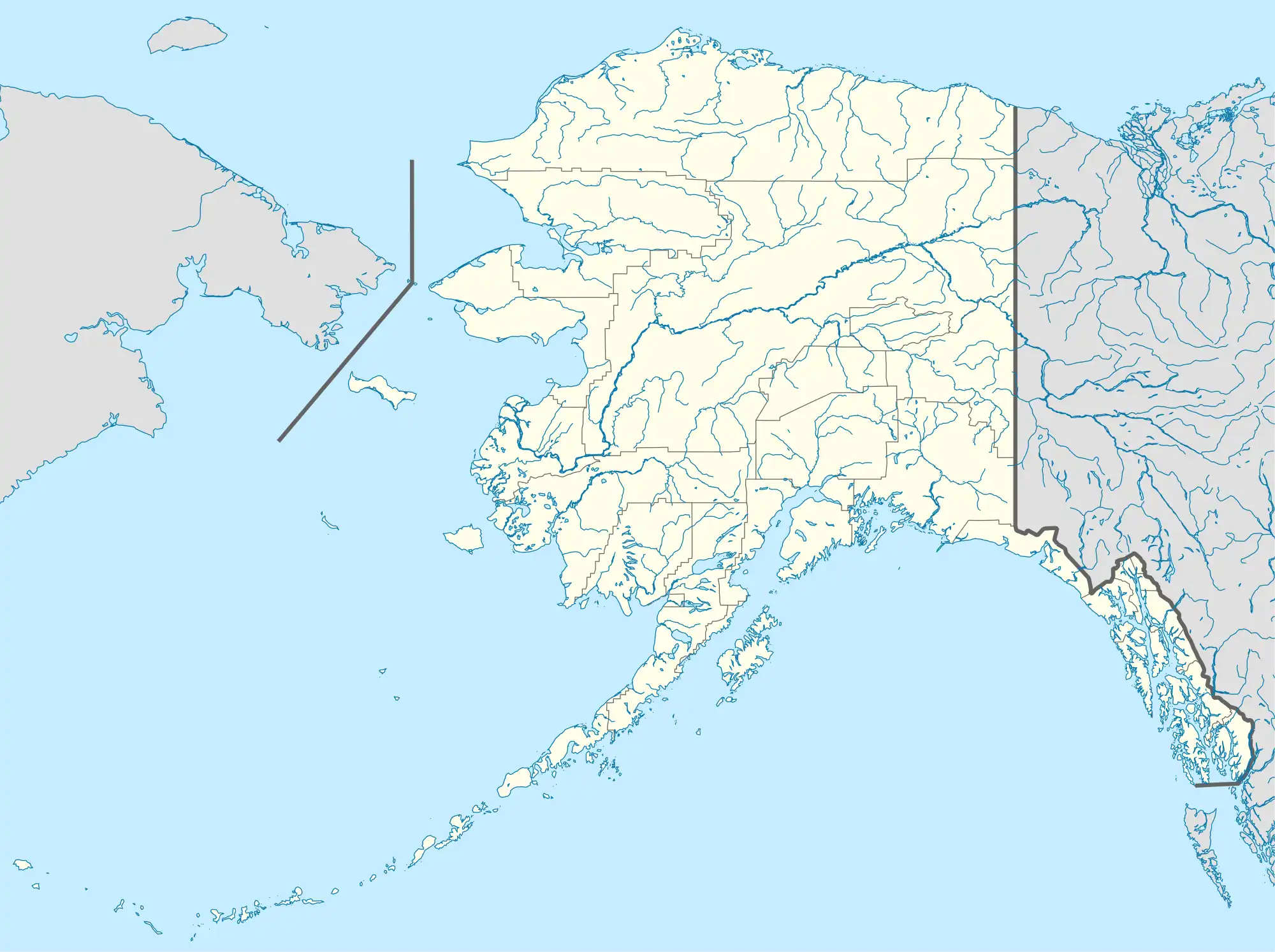
| Coordinates | 60°57′30″N 148°19′27″W / 60.95833°N 148.32417°W60°57'30"N 148°19'27"W |
| Area | 679 acres (275 ha) |
| Established | July 16, 1983 |
| Governing body | Alaska Division of Parks and Outdoor Recreation |
| Website | Bettles Bay State Marine Park |
Bettles Bay State Marine Park is a 679-acre (275 ha) undeveloped Alaska state marine park. There is no road access to the park. The park can be accessed from the lagoon northeast of the islands.[1][2][3] The park offers great views of Bettles Glacier. Attractions include an old stamp press and gold mine, just southeast of the park.[4]
Activities include wildlife viewing, boating, and fishing. Although there are campsites, camping is poor due to wetlands.[5]
There are many habitats within the park including estuaries, eelgrass beds, salmon spawning, waterfowl nesting, and sea otter habitats.[6]
See also
External links
References
- ↑ "Bettles Bay State Marine Park". Alaska Department of Natural Resources.
- ↑ Prince William Sound Subarea Contingency Plan (PDF). 2005. p. 82.
- ↑ "Fact Sheet: State of Alaska Legislatively Designated Areas" (PDF). Alaska Department of Natural Resources Division of Mining, Land, and Water.
- ↑ Smith, Darren (2007). Parks Directory of the United States. Detroit, MI: Omnigraphics. p. 283. ISBN 978-0-7808-0932-1.
- ↑ Sustainable Economic Development for the Prince William Sound Region. National Wildlife Federation. 2005. p. 60.
- ↑ Prince William Sound/Copper River Area Transportation Plan: Preliminary Environmental Issues Identification Technical Memorandum (PDF). 1998. p. 15.
This article is issued from Wikipedia. The text is licensed under Creative Commons - Attribution - Sharealike. Additional terms may apply for the media files.