| Biggin | |
|---|---|
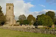 St Thomas' Church in Biggin | |
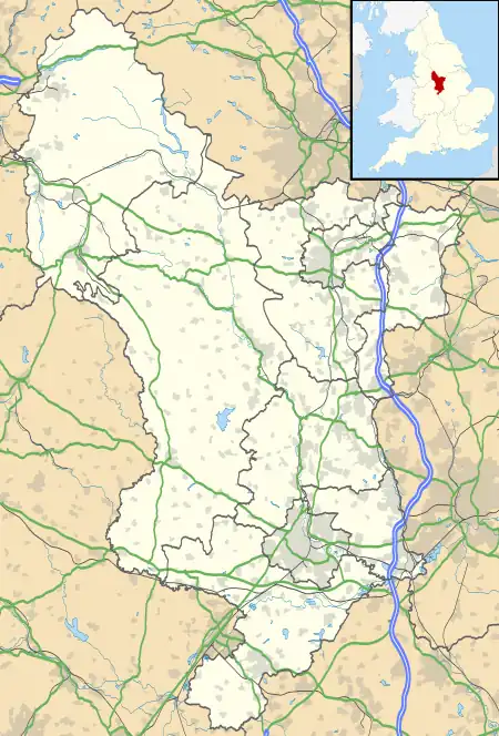 Biggin Location within Derbyshire | |
| Population | 136 |
| OS grid reference | SK154593 |
| District | |
| Shire county | |
| Region | |
| Country | England |
| Sovereign state | United Kingdom |
| Post town | BUXTON |
| Postcode district | SK17 |
| Dialling code | 01298 |
| Police | Derbyshire |
| Fire | Derbyshire |
| Ambulance | East Midlands |
| UK Parliament | |
Biggin is a village in the Derbyshire Dales district of Derbyshire, England.[1][2] It is part of the Hartington Nether Quarter parish, and is in the Peak District National Park.
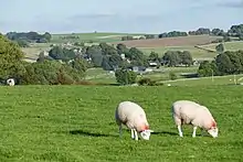
Biggin was once known as Newbiggin, when it had a monastic settlement of the Cistercian order, established by the monks of Garendon Abbey, Leicestershire. The monks established a sheep ranch at Biggin Grange, which still has one ancient outbuilding. Farming is still important to the village, though at one time (18th Century) it was also a centre of lead mining. When the lead started to be worked out, there was a migration of lead miners to Upper Teesdale, and they probably took the name Newbiggin there. Today tourism is an important industry alongside farming.
See also
References
- ↑ Ordnance Survey: Landranger map sheet 119 Buxton & Matlock (Chesterfield, Bakewell & Dove Dale) (Map). Ordnance Survey. 2012. ISBN 9780319231890.
- ↑ "Ordnance Survey: 1:50,000 Scale Gazetteer" (csv (download)). www.ordnancesurvey.co.uk. Ordnance Survey. 1 January 2016. Retrieved 30 January 2016.
External links
![]() Media related to Biggin, Hartington Nether Quarter at Wikimedia Commons
Media related to Biggin, Hartington Nether Quarter at Wikimedia Commons