Bijela
Бијела | |
|---|---|
Village | |
 Bijela | |
| Coordinates: 44°47′24″N 18°33′39″E / 44.79000°N 18.56083°E | |
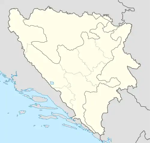
| Country | |
| Entity | Brčko District |
| Area | |
| • Total | 7.67 sq mi (19.87 km2) |
| Population (2013) | |
| • Total | 1,923 |
| • Density | 250/sq mi (97/km2) |
| Time zone | UTC+1 (CET) |
| • Summer (DST) | UTC+2 (CEST) |
Bijela (Serbian Cyrillic: Бијела) is a large village in Bosnia and Herzegovina located approximately 25 kilometers south of the city of Brčko on the Brčko - Banovići railway line. It has approximately 2000 inhabitants and is the largest village in the Brčko District. A hill above the village is the site of some Stećci.[1]
Demographics
According to the 2013 census, its population was 1,923.[2]
| Ethnicity | Number | Percentage |
|---|---|---|
| Croats | 1,733 | 90.1% |
| Serbs | 155 | 8.1% |
| Bosniaks | 19 | 0.8% |
| other/undeclared | 16 | 1.0% |
| Total | 1,923 | 100% |
References
- ↑ Tomas̆ević, Nebojs̆a; Karin Radovanović (1982). Treasures of Yugoslavia: an encyclopedic touring guide. Yugoslaviapublic. p. 274. OCLC 439720906.
- ↑ "Naseljena Mjesta 1991/2013" (in Bosnian). Statistical Office of Bosnia and Herzegovina. Retrieved May 19, 2022.
This article is issued from Wikipedia. The text is licensed under Creative Commons - Attribution - Sharealike. Additional terms may apply for the media files.