| Bolong New South Wales | |||||||||||||||
|---|---|---|---|---|---|---|---|---|---|---|---|---|---|---|---|
 | |||||||||||||||
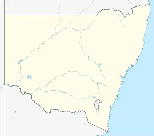  Bolong Location in New South Wales | |||||||||||||||
| Coordinates | 34°50′57″S 150°40′02″E / 34.84917°S 150.66722°E | ||||||||||||||
| Population | 104 (2016 census)[1] | ||||||||||||||
| Postcode(s) | 2535 | ||||||||||||||
| Elevation | 3 m (10 ft) | ||||||||||||||
| Location |
| ||||||||||||||
| LGA(s) | City of Shoalhaven | ||||||||||||||
| Region | South Coast | ||||||||||||||
| County | Camden | ||||||||||||||
| Parish | Coolangatta | ||||||||||||||
| State electorate(s) | Kiama | ||||||||||||||
| Federal division(s) | Gilmore | ||||||||||||||
| |||||||||||||||
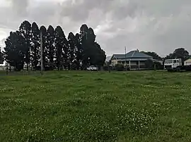
Bolong is a locality in the City of Shoalhaven in New South Wales, Australia.[2][3] It lies to the north of the Shoalhaven River and to the west of Broughton Creek. It is northeast of Nowra. At the 2016 census, it had a population of 104.[1]
Bolong had a public school from November 1861 to December 1963, although it was called Boolong Public School until around 1900.[4]
References
- 1 2 Australian Bureau of Statistics (27 June 2017). "Bolong". 2016 Census QuickStats. Retrieved 10 October 2019.
- ↑ "Bolong". Geographical Names Register (GNR) of NSW. Geographical Names Board of New South Wales. Retrieved 10 October 2019.
- ↑ "Bolong". OpenStreetMap. Retrieved 10 October 2019.
- ↑ "Bolong in the School history database search". New South Wales Department of Education. Retrieved 10 October 2019.
This article is issued from Wikipedia. The text is licensed under Creative Commons - Attribution - Sharealike. Additional terms may apply for the media files.