| Bonnieure | |
|---|---|
 | |
  | |
| Location | |
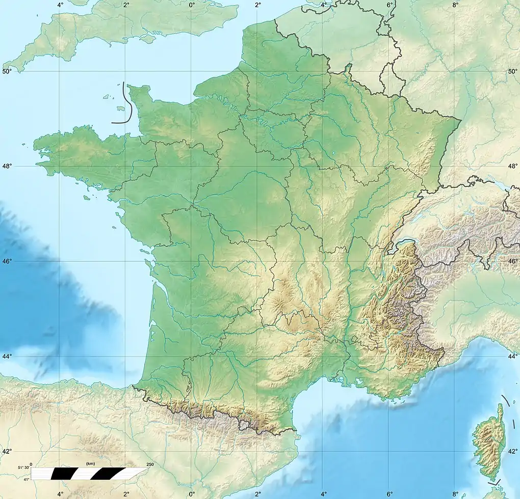
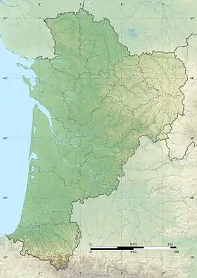
| Country | France |
| Physical characteristics | |
| Mouth | |
• location | Charente |
• coordinates | 45°52′33″N 0°12′27″E / 45.87583°N 0.20750°E |
| Length | 46.9 km (29.1 mi) |
| Basin size | 203 km2 (78 sq mi) |
| Discharge | |
| • average | 1.49 m3/s (53 cu ft/s) |
| Basin features | |
| Progression | Charente→ Atlantic Ocean |
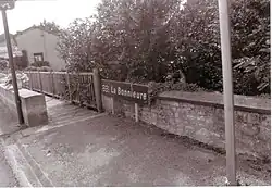
The Bonnieure (French pronunciation: [bɔnjœʁ]) is a river in the Charente département, southwestern France, left tributary to the river Charente. It is 46.9 km (29.1 mi) long.[1] Its source is in Genouillac, in the east of the department. It flows into the Charente near Mansle. Another town along the Bonnieure is Chasseneuil-sur-Bonnieure. The Tardoire is a left tributary of the Bonnieure.
References
Wikimedia Commons has media related to Bonnieure.
This article is issued from Wikipedia. The text is licensed under Creative Commons - Attribution - Sharealike. Additional terms may apply for the media files.