Borderland, West Virginia | |
|---|---|
 Borderland, West Virginia  Borderland, West Virginia | |
| Coordinates: 37°42′50″N 82°18′33″W / 37.71389°N 82.30917°W | |
| Country | United States |
| State | West Virginia |
| County | Mingo |
| Elevation | 653 ft (199 m) |
| Time zone | UTC-5 (Eastern (EST)) |
| • Summer (DST) | UTC-4 (EDT) |
| ZIP code | 25665[1] |
| Area code(s) | 304 & 681 |
| GNIS feature ID | 1553952[2] |
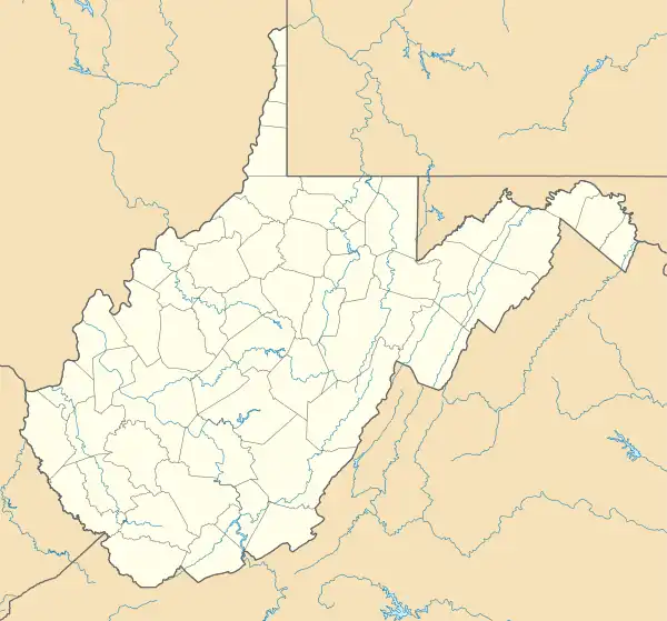
Borderland is an unincorporated community in Mingo County, West Virginia, United States. Borderland is located along the Tug Fork and U.S. Routes 52 and 119, 3 miles (4.8 km) northwest of Williamson. Borderland had a post office, which opened on March 6, 1905, and closed on June 20, 2009.[3]
The community may be named on account of its location near the Kentucky border.[4]
Climate
The climate in this area is characterized by hot, humid summers and generally mild to cool winters. According to the Köppen Climate Classification system, Borderland has a humid subtropical climate, abbreviated "Cfa" on climate maps.[5]
References
- ↑ United States Postal Service (2012). "USPS - Look Up a ZIP Code". Retrieved February 15, 2012.
- ↑ "Borderland". Geographic Names Information System. United States Geological Survey, United States Department of the Interior.
- ↑ "Postmaster Finder - Post Offices by ZIP Code". United States Postal Service. Archived from the original on October 17, 2020. Retrieved November 10, 2011.
- ↑ Kenny, Hamill (1945). West Virginia Place Names: Their Origin and Meaning, Including the Nomenclature of the Streams and Mountains. Piedmont, WV: The Place Name Press. p. 126.
- ↑ Climate Summary for Borderland, West Virginia
Municipalities and communities of Mingo County, West Virginia, United States | ||
|---|---|---|
| City | 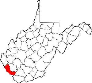 Mingo County map | |
| Towns | ||
| CDPs | ||
| Other communities |
| |
| Footnotes | ‡This populated place also has portions in an adjacent county or counties | |
This article is issued from Wikipedia. The text is licensed under Creative Commons - Attribution - Sharealike. Additional terms may apply for the media files.