| Branton | |
|---|---|
 Entering Branton from the north | |
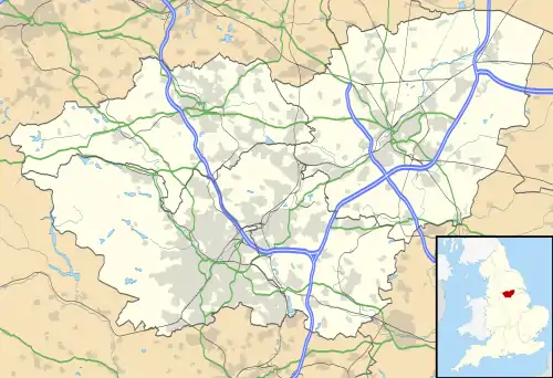  Branton Location within South Yorkshire | |
| Population | 1,992 (2011 Census)[1] |
| OS grid reference | SE6401 |
| Civil parish |
|
| Metropolitan borough | |
| Metropolitan county | |
| Region | |
| Country | England |
| Sovereign state | United Kingdom |
| Post town | DONCASTER |
| Postcode district | DN3 |
| Dialling code | 01302 |
| Police | South Yorkshire |
| Fire | South Yorkshire |
| Ambulance | Yorkshire |
| UK Parliament | |
Branton is a village in South Yorkshire, England. It is about 4 miles (6.4 km) east of Doncaster. At the 2011 census, it had a population of 1,992.[1]
History
Branton is mentioned in the Domesday Book as belonging to Geoffrey Alselin as having 15 ploughlands, and a church.[2] The name Branton derives from the Old English Brōm-tūn; the farmstead/town where the broom grew (or town among the broom).[3][4] The village was formerly in the wapentake of Strafforth and Tickhill.[5] In 1951, a farmer ploughing fields at Kilham Farm to the north east of the village, discovered fragments of pottery. The site has since been surveyed and documented as Romano-British pottery location which had several kilns, using the nearby River Torne for transport pottery away from Branton.[6]
There is a primary school in the village, named St Wilfrid's, which was rated as Good by Ofsted in 2019.[7] There is a post office, newsagent, barbers and pub in the village. There used to be a chapel and a church but these have been demolished.[8] The pub is called the Three Horseshoes, and was renovated in 1907.[9] A frequent bus service connects the village with Cantley and Doncaster.[10]
The Yorkshire Wildlife Park is immediately to the south of the village; it is bounded to the east by the River Torne, and to the west by the M18 motorway, which separates it from Cantley.[11][12]
Governance
Branton is in the parliamentary constituency of Don Valley, and in the civil parish of Cantley with Branton.[13]
References
- 1 2 UK Census (2011). "Local Area Report – Branton Built-up area (E34001838)". Nomis. Office for National Statistics. Retrieved 29 March 2022.
- ↑ "Branton". opendomesday.org. Retrieved 29 March 2022.
- ↑ Ekwall, Eilert (1960). The concise Oxford dictionary of English place-names (4 ed.). Oxford: Oxford University Press. p. 61. ISBN 0-19-869103-3.
- ↑ "Branton :: Survey of English Place-Names". epns.nottingham.ac.uk. Retrieved 29 March 2022.
- ↑ Smith, A. H. (1961). The place-names of the West Riding of Yorkshire. Cambridge: Cambridge University Press. p. 41. OCLC 871561411.
- ↑ Buckland, P. C. (1976). "A Romano-British pottery kiln site at Branton, near Doncaster". Yorkshire Archaeological Journal. Leeds: Yorkshire Archaeological Society. 48: 69. ISSN 0084-4276.
- ↑ "Branton St Wilfrid's Church of England Primary School URN: 106767". reports.ofsted.gov.uk. 6 October 2020. Retrieved 29 March 2022.
- ↑ "Memories of Branton". www.cantleywithbrantonparish.co.uk. Retrieved 29 March 2022.
- ↑ "Pub Of The Week: The Three Horseshoes, Branton". The Yorkshire Post. 4 June 2012. Retrieved 29 March 2022.
- ↑ "Bus services 57a 57c 57f 58a 58c 58f" (PDF). travelsouthyorkshire.com. Retrieved 29 March 2022.
- ↑ Simon, Jos (2015). The Rough Guide to Yorkshire. Rough Guides. p. 75. ISBN 9780241216323.
- ↑ "Doncaster" (Map). 279. 1:25,000. Explorer. Ordnance Survey. 2015. ISBN 978-0-319-24476-0.
- ↑ "About Cantley & Branton Parishes | Doncaster in South Yorkshire". cantleywithbrantonparish.co.uk. Retrieved 29 March 2022.
External links

| Metropolitan districts | |
|---|---|
| Major settlements (cities in italics) |
|
| Rivers | |
| Topics |
|
