Bridger, South Dakota | |
|---|---|
 Bridger  Bridger | |
| Coordinates: 44°32′32″N 101°54′49″W / 44.54222°N 101.91361°W | |
| Country | United States |
| State | South Dakota |
| County | Ziebach |
| Area | |
| • Total | 0.27 sq mi (0.69 km2) |
| • Land | 0.27 sq mi (0.69 km2) |
| • Water | 0.00 sq mi (0.00 km2) |
| Elevation | 1,870 ft (570 m) |
| Population | |
| • Total | 48 |
| • Density | 181.13/sq mi (70.04/km2) |
| Time zone | UTC-7 (Mountain (MST)) |
| • Summer (DST) | UTC-6 (MDT) |
| ZIP Code | 57748 (Howes) |
| Area code | 605 |
| FIPS code | 46-07140 |
| GNIS feature ID | 2813068[2] |
Bridger is an unincorporated community and census-designated place (CDP) in Ziebach County, South Dakota, United States, within the Cheyenne River Indian Reservation. The population was 48 at the 2020 census.[4] It was first listed as a CDP prior to the 2020 census.[2]
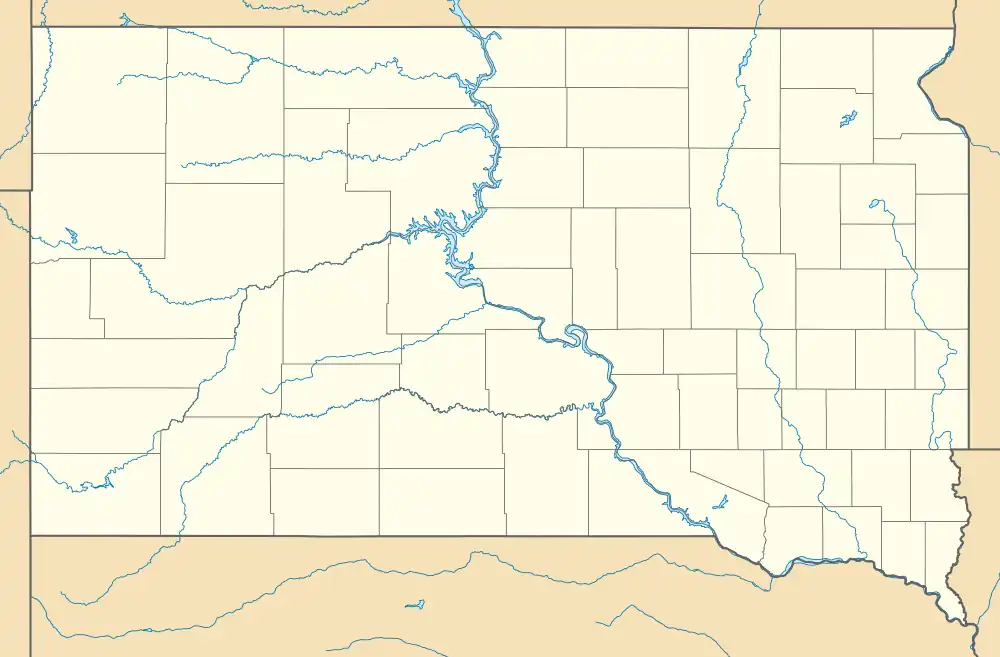
It is in the southwest corner of the county, 1 mile (1.6 km) north of the Cheyenne River, which forms the border with Haakon County to the south. Bridger is also 1 mile (1.6 km) east of South Dakota Highway 34, which leads 87 miles (140 km) west to Sturgis and east 86 miles (138 km) to Pierre.
Demographics
| Census | Pop. | Note | %± |
|---|---|---|---|
| 2020 | 48 | — | |
| U.S. Decennial Census[5] | |||
References
- ↑ "ArcGIS REST Services Directory". United States Census Bureau. Retrieved October 15, 2022.
- 1 2 3 U.S. Geological Survey Geographic Names Information System: Bridger, South Dakota
- ↑ "Census Population API". United States Census Bureau. Retrieved October 15, 2022.
- ↑ "U.S. Census Bureau: Bridger CDP, South Dakota". www.census.gov. United States Census Bureau. Retrieved June 28, 2022.
- ↑ "Census of Population and Housing". Census.gov. Retrieved June 4, 2016.
Municipalities and communities of Ziebach County, South Dakota, United States | ||
|---|---|---|
| Cities | 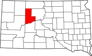 Ziebach County map | |
| Unorganized territories |
| |
| CDPs | ||
| Other communities | ||
| Indian reservations | ||
| Footnotes | ‡This populated place also has portions in an adjacent county or counties | |
This article is issued from Wikipedia. The text is licensed under Creative Commons - Attribution - Sharealike. Additional terms may apply for the media files.