 | ||||
|---|---|---|---|---|
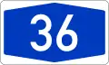
| Bundesautobahn 36 | ||||
| Route information | ||||
| Length | 120.4 km (74.8 mi) | |||
| Existed | 2019–present | |||
| Location | ||||
| Country | Germany | |||
| States | Lower Saxony, Saxony-Anhalt | |||
| Highway system | ||||
| ||||
| ||||
Bundesautobahn 36 (translates from German as Federal Motorway 36, short form Autobahn 36, abbreviated as BAB 36 or A 36) is an autobahn in Germany. It was established on 1 January 2019 from the Bundesautobahn 395 and parts of the Bundesstraße 6.[1]
The highway is collectively known as Nordharzautobahn (North Harz highway) due to the route being parallel to the Harz mountains from Vienenburg to Bernburg.[2]
History
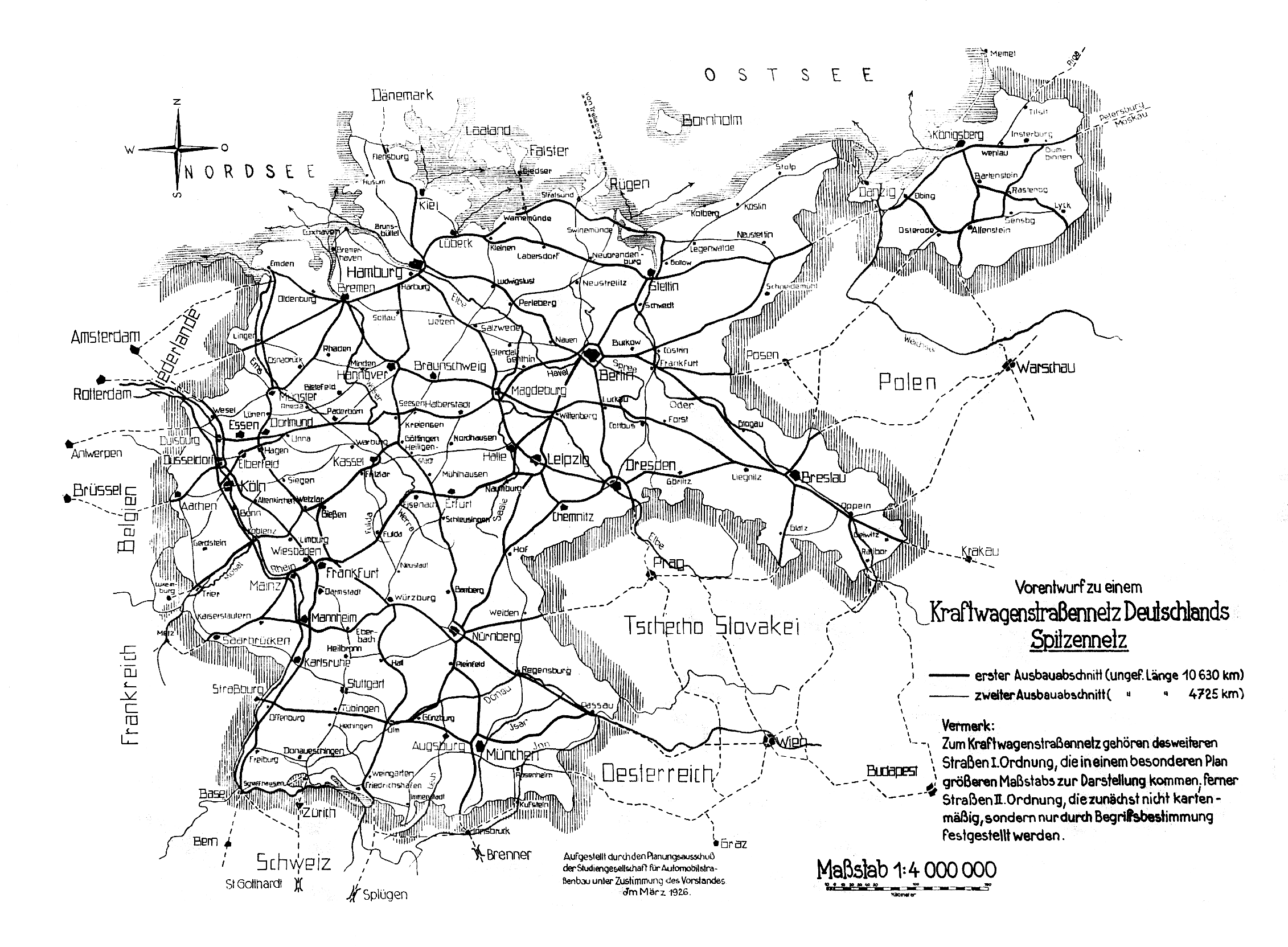
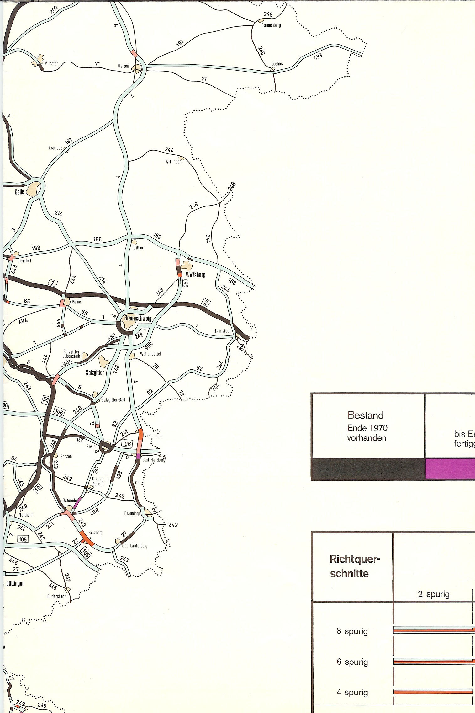
In March 1926, a route between Seesen and Halberstadt north of the Harz mountains was first suggested as part of a greater network in Germany.[3] More detailed plannings of parts of today's route reach back to April 1953, when a planning office in Brunswick recommended a highway-like route between Braunschweig and Bad Harzburg; this route was built between 1972 and 1994 as A 395 and replaced the B 4 along its way. This part wasn't considered a part of A 26 until discussions about upgrading the highway-like Bundesstraße 6 between Vienenburg interchange (A 395) and Bernburg (Saale) interchange (A 14) emerged in 2017 and were officially realized on 1 January 2019, leading to the renaming of the A 395 (Braunschweig – Vienenburg) and B 6 (Vienenburg – Bernburg) to A 36.
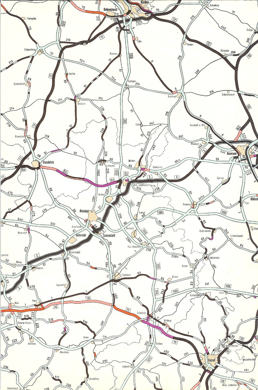
The original planning of the A 36 considered a different route: In 1972, the highway was first named as A 106 and supposed to connect Bielefeld, Lage, Hamelin, Alfeld, Goslar, and Bad Harzburg to the Inner German border.[4] If built, this route would today connect the A 2 with a hypothetical A 35 south of Hamelin in direction of Hanover, the A 7 (Hanover – Kassel), and the A 369 (Braunschweig – Braunlage), not including the former B 6 route to the A 14.
A second planning from 1976 designated the route from Bielefeld to Hamelin as a part of the A 35, leaving the highway from Hamelin to Bad Harzburg under the official name A 36. This last official plan was the base for the later renaming, considering the B 6 as the eastward continuation of the suggested highway.[5] This plan was eventually abandoned in 1980, with only a minor route east of the A 2 (Ubbedissen, four-lane B 6) and west of the recent A 369 (Harlingerode, four-lane B 6) being realized for the purpose of being part of a major highway.
 Map of the proposed 1976 highway
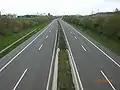 B 66 near Ubbedissen, part of the proposed A 106 from 1972 to 1976
 B 6 north of Harlingerode, part of the proposed A 36 from 1972 to 1980
Exit list
| (1) | Brunschweig-Süd 4-way interchange | |
| Tankstelle | ||
| (-) | Braunschweig-Melverode | |
| (2) | Braunschweig-Heldberg | |
| (3) | Braunschweig-Stöckheim | |
| (4) | Wolfenbüttel-Nord | |
| Oker bridge 250 m | ||
| (5) | Wolfenbüttel-Nordwest | |
| (6) | Wolfenbüttel-West | |
| (7) | Wolfenbüttel-Süd | |
| (8) | Flöthe | |
| Grünbrücke 10 m | ||
| Straßenbrücke 70 m | ||
| Rest area Werla | ||
| Talbrücke Warnetal 130 m | ||
| Rest area Ziegenberg | ||
| (9) | Schladen-Nord | |
| (10) | Schladen-Süd | |
| (11) | Lengde | |
| Oker bridge 200 m | ||
| (12) | Vienenburg | |
| Bahn- und Straßenbrücke 150 m | ||
| (13) | Osterwieck/Vienenburg-Ost | |
| (14) | Vienenburg 3-way interchange | |
| Schamlah bridge | ||
| Ecker bridge | ||
| (15) | Abbenrode | |
| Rest area Brockenblick | ||
| (16) | Stapelburg | |
| Ilse bridge 60 m | ||
| (17) | Ilsenburg/Veckenstedt | |
| (18) | Wernigerode-Nord | |
| Holtemme bridge | ||
| (19) | Wernigerode-Mitte | |
| Rest area Regensteinblick | ||
| (20) | Halberstadt/Heimburg | |
| (21) | Blankenburg-Mitte | |
| (22) | Blankenburg-Ost | |
| (23) | Thale | |
| (24) | Quedlinburg-Mitte | |
| Bode bridge | ||
| (25) | Quedlinburg-Ost | |
| Selke bridge | ||
| (26) | Hoym | |
| (27) | Aschersleben-West | |
| (28) | Aschersleben-Mitte | |
| Rest area Hasenwinkel | ||
| (29) | Aschersleben-Ost | |
| (30) | Güsten | |
| (31) | Ilberstedt | |
| (32) | Bernburg 4-way interchange |
References
- ↑ "Aus gelb wird blau: B 6 und A 395 werden zu A 36 hochgestuft". Niedersächsisches Ministerium für Wirtschaft, Arbeit, Verkehr und Digitalisierung. 2018-12-18. Archived from the original on 2018-12-19. Retrieved 2018-12-19.
- ↑ Frank Drechsler (2018-12-20). "Nordharz-Autobahn ab Januar blau statt gelb". Volksstimme. Retrieved 2018-12-20.
- ↑ Karte auf autobahnatlas-online.de
- ↑ "Bauleistungen auf Bundesfernstraßen im Jahre 1972. Ausbau der Bundesfernstraßen in den Jahren 1971 bis 1985. Anlage zum Straßenbaubericht 1972". Bundesminister für Verkehr Abt. Straßenbau. Retrieved 2013-03-31. Kartenausschnitt
- ↑ "Bauleistungen auf Bundesfernstraßen im Jahre 1972. Ausbau der Bundesfernstraßen in den Jahren 1971 bis 1985. Anlage zum Straßenbaubericht 1972". Bundesminister für Verkehr Abt. Straßenbau. Retrieved 2013-03-31. Kartenausschnitt
External links
- Bundesautobahn 36 – detailed route plan (in German)
- Bundesautobahn 36x – detailed route plan (in German)