| Camoscellahorn | |
|---|---|
| Pizzo Pioltone | |
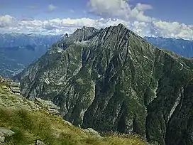 The north west side | |
| Highest point | |
| Elevation | 2,612 m (8,570 ft) |
| Prominence | 183 m (600 ft)[1] |
| Parent peak | Pizzo Giezza |
| Coordinates | 46°10′29.9″N 8°9′34.8″E / 46.174972°N 8.159667°E |
| Geography | |
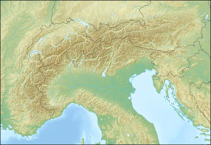 Camoscellahorn Location in the Alps | |
| Location | Valais, Switzerland / Piedmont, Italy |
| Parent range | Pennine Alps |
The Camoscellahorn (also known as Pizzo Pioltone) is a mountain of the Pennine Alps, located on the Swiss-Italian border. The closest locality is Gondo in the Swiss Val Divedro.
References
External links
This article is issued from Wikipedia. The text is licensed under Creative Commons - Attribution - Sharealike. Additional terms may apply for the media files.