Cantal | |
|---|---|
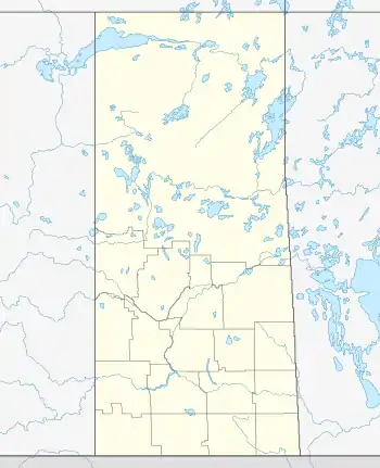 Cantal Location of Cantal in Saskatchewan  Cantal Cantal (Canada) | |
| Coordinates: 49°26′02″N 101°56′06″W / 49.43389°N 101.93500°W | |
| Country | Canada |
| Province | Saskatchewan |
| Region | Southeast |
| Rural Municipality | Reciprocity |
| Government | |
| • Type | Municipal |
| • Governing body | Rural Municipality of Reciprocity |
| • MP | Robert Kitchen |
| • MLA | Dan D'Autremont |
| Time zone | UTC-6 (Central) |
| Area code | 306 |
| [1][2] | |
Cantal is an unincorporated community, within the Rural Municipality of Reciprocity No. 32, Saskatchewan, Canada. The community is located 4 km north of Highway 361 on Range Road 340, (49.433998, -101.934873)[3] approximately 103 km east of the city of Estevan. Farming and oil are the major local industries.
Gallery
A gallery of photos from Cantal, Saskatchewan
 School site in Cantal, Saskatchewan
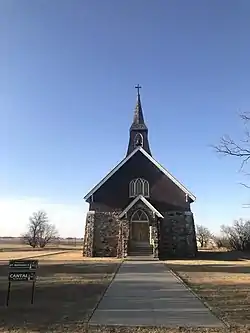 St. Raphael Church in Cantal, Saskatchewan
See also
References
- ↑ National Archives, Archivia Net. "Post Offices and Postmasters". Archived from the original on October 6, 2006. Retrieved August 21, 2014.
- ↑ Government of Saskatchewan, MRD Home. "Municipal Directory System". Archived from the original on January 15, 2016. Retrieved August 21, 2014.
- ↑ Google Maps - Cantal, Saskatchewan
External links
 Media related to Cantal, Saskatchewan at Wikimedia Commons
Subdivisions of Saskatchewan | |
|---|---|
| Subdivisions | |
| Communities | |
| Cities | |
| Topics |
|
| |
| Cities | 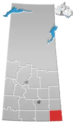 | ||||
|---|---|---|---|---|---|
| Towns | |||||
| Villages | |||||
| Rural municipalities | |||||
| First Nations | |||||
| Indian reserves | |||||
| Unincorporated communities |
| ||||
This article is issued from Wikipedia. The text is licensed under Creative Commons - Attribution - Sharealike. Additional terms may apply for the media files.