Carmópolis
Município de Carmópolis | |
|---|---|
 Flag  Seal | |
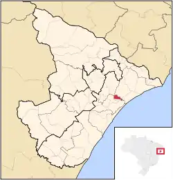 Location of Carmópolis in Sergipe | |
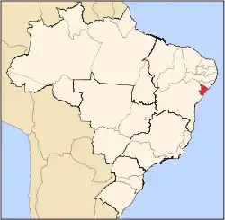
 Carmópolis Location of Carmópolis in Brazil | |
| Coordinates: 10°38′52″S 36°59′20″W / 10.64778°S 36.98889°W | |
| Country | |
| Region | Northeast |
| State | |
| Founded | October 16, 1922 |
| Government | |
| • Mayor | Esmeralda Mara Silva Cruz |
| Area | |
| • Total | 45.66 km2 (17.63 sq mi) |
| Elevation | 13 m (43 ft) |
| Population (2020 [1]) | |
| • Total | 16,937 |
| • Density | 370/km2 (960/sq mi) |
| Demonym | Carmopolense |
| Time zone | UTC−3 (BRT) |
| Website | carmopolis |
Carmópolis is a municipality located in the Brazilian state of Sergipe. Its population was 16,937 (2020). Carmópolis covers 45.66 km2 (17.63 sq mi) and has a population density of 294.15 inhabitants per square kilometer. It is located 30.6 km (19.0 mi) from the state capital of Sergipe, Aracaju.[2] Carmópolis borders on the municipalities of Japaratuba, Rosário do Catete, General Maynard, and Santo Amaro das Brotas, all in the state of Sergipe.
References
- ↑ IBGE 2020
- ↑ "Carmópolis" (in Portuguese). Brasília, Brazil: Instituto Brasileiro de Geografia e Estatística. 2016. Retrieved 2016-11-21.
Capital: Aracaju | |||||||||||||||
| Agreste Sergipano |
|  | |||||||||||||
| Leste Sergipano |
| ||||||||||||||
| Sertao Sergipano |
| ||||||||||||||
This article is issued from Wikipedia. The text is licensed under Creative Commons - Attribution - Sharealike. Additional terms may apply for the media files.