Carrascalejo | |
|---|---|
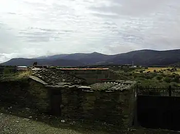 Carrascalejo with the Sierra de Altamira in the background | |
.svg.png.webp) Seal | |
 Carrascalejo Location in Spain | |
| Coordinates: 39°38′N 5°13′W / 39.633°N 5.217°W | |
| Country | Spain |
| Autonomous community | Extremadura |
| Province | Cáceres |
| Municipality | Carrascalejo |
| Area | |
| • Total | 48 km2 (19 sq mi) |
| Elevation | 607 m (1,991 ft) |
| Population (2018)[1] | |
| • Total | 230 |
| Time zone | UTC+1 (CET) |
| • Summer (DST) | UTC+2 (CEST) |
Carrascalejo is a municipality located in the province of Cáceres, Extremadura, Spain. According to the 2014 census,[2] the municipality has a population of 273 inhabitants.
References
- ↑ Municipal Register of Spain 2018. National Statistics Institute.
- ↑ Instituto Nacional de Estadística (INE)
External links
 Media related to Carrascalejo at Wikimedia Commons
auto
This article is issued from Wikipedia. The text is licensed under Creative Commons - Attribution - Sharealike. Additional terms may apply for the media files.