| Castra Tasmania | |||||||||||||||
|---|---|---|---|---|---|---|---|---|---|---|---|---|---|---|---|
  Castra | |||||||||||||||
| Coordinates | 41°20′00″S 146°08′00″E / 41.3333°S 146.1333°E | ||||||||||||||
| Population | 51 (2016 census)[1] | ||||||||||||||
| Postcode(s) | 7315 | ||||||||||||||
| Location | 19 km (12 mi) S of Ulverstone | ||||||||||||||
| LGA(s) | Central Coast | ||||||||||||||
| Region | North-west and west | ||||||||||||||
| State electorate(s) | Braddon | ||||||||||||||
| Federal division(s) | Braddon | ||||||||||||||
| |||||||||||||||
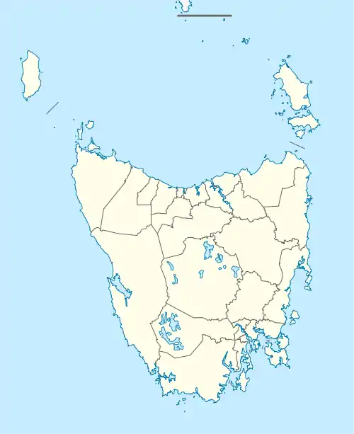
Castra is a rural locality in the local government area (LGA) of Central Coast in the North-west and west LGA region of Tasmania. The locality is about 19 kilometres (12 mi) south of the town of Ulverstone. The 2016 census recorded a population of 51 for the state suburb of Castra.[1]
History
Castra is a confirmed locality.[2]
Geography
Most of the boundaries are survey lines.[3]
Road infrastructure
Route C124 (Central Castra Road) passes through from north to south.[2][4]
References
- 1 2 "2016 Census Quick Stats Castra (Tas.)". quickstats.censusdata.abs.gov.au. Australian Bureau of Statistics. 23 October 2017. Retrieved 13 September 2020.
- 1 2 "Placenames Tasmania – Castra". Placenames Tasmania. Select “Search”, enter "39434M", click “Search”, select row, map is displayed, click “Details”. Retrieved 13 September 2020.
- ↑ Google (13 September 2020). "Castra, Tasmania" (Map). Google Maps. Google. Retrieved 13 September 2020.
- ↑ "Tasmanian Road Route Codes" (PDF). Department of Primary Industries, Parks, Water & Environment. May 2017. Archived from the original (PDF) on 1 August 2017. Retrieved 13 September 2020.
This article is issued from Wikipedia. The text is licensed under Creative Commons - Attribution - Sharealike. Additional terms may apply for the media files.