| Castra of Sfârleanca | |
|---|---|
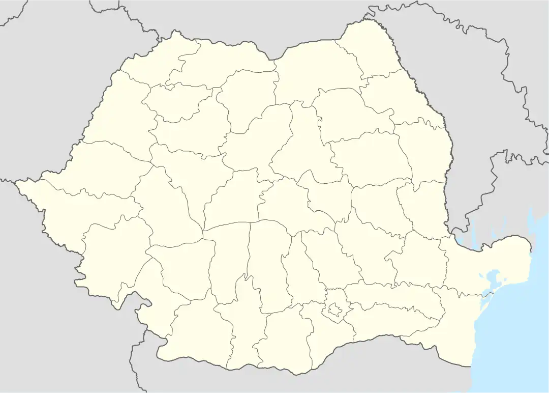 Location within Romania | |
| Known also as | Castra of Mălăiești |
| Founded | 2nd century AD |
| Place in the Roman world | |
| Province | Moesia ? |
| Structure | |
| — Stone structure — | |
| Stationed military units | |
| — Legions — | |
| — Cohorts — | |
| I Flavia Commagenorum[1] | |
| Location | |
| Coordinates | 45°05′30″N 26°00′47″E / 45.091722°N 26.013167°E |
| Altitude | 256 m (840 ft) |
| Place name | La cetate |
| Town | Sfârleanca |
| County | Prahova |
| Country | |
| Reference | |
| RO-LMI | PH-I-s-A-16208 |
| RO-RAN | 131522.01 |
| Site notes | |
| Recognition | |
| Condition | Ruined |
It was a fort in the Roman province of Dacia.
See also
External links
- Roman castra from Romania - Google Maps / Earth Archived 2012-12-05 at archive.today
Notes
- 1 2 3 4 Istoria Daciei romane, de Adrian Bejan Archived December 5, 2010, at the Wayback Machine
45°05′N 26°00′E / 45.083°N 26.000°E
This article is issued from Wikipedia. The text is licensed under Creative Commons - Attribution - Sharealike. Additional terms may apply for the media files.