Cerezo de Abajo | |
|---|---|
_01.jpg.webp) 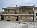 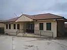 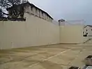 Top: Church of San Román and Town Hall. Down: School and Frontón. | |
.svg.png.webp) Seal | |
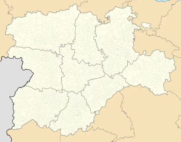 Cerezo de Abajo Location in Spain.  Cerezo de Abajo Cerezo de Abajo (Spain) | |
| Coordinates: 41°13′4″N 3°35′32″W / 41.21778°N 3.59222°W | |
| Country | |
| Autonomous community | |
| Province | |
| Comarca | Comunidad de Villa y Tierra de Sepúlveda |
| Government | |
| • Mayor | Felipe Martín Muñoz |
| Area | |
| • Total | 19.89 km2 (7.68 sq mi) |
| Elevation | 1,046 m (3,432 ft) |
| Population (2018)[1] | |
| • Total | 117 |
| • Density | 5.9/km2 (15/sq mi) |
| Time zone | UTC+1 (CET) |
| • Summer (DST) | UTC+2 (CEST) |
| Website | Official website |
Cerezo de Abajo is a municipality located in the province of Segovia, Castile and León, Spain.
At the end of the Spanish Civil War it was the site of a Nationalist concentration camp housing more than 5,000 Republican prisoners.[2]
See also
References
- ↑ Municipal Register of Spain 2018. National Statistics Institute.
- ↑ Hernández de Miguel, Carlos (2019). Los campos de concentración de Franco: Sometimiento, torturas y muerte tras las alambradas. Penguin Random House Grupo Editorial España. p. 25. ISBN 9788466665452.
This article is issued from Wikipedia. The text is licensed under Creative Commons - Attribution - Sharealike. Additional terms may apply for the media files.