Chand Saray | |
|---|---|
Village | |
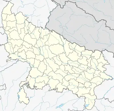 Chand Saray Location in Uttar Pradesh, India  Chand Saray Chand Saray (India) | |
| Coordinates: 26°46′26″N 81°05′33″E / 26.77389°N 81.09237°E[1] | |
| Country | |
| State | Uttar Pradesh |
| District | Lucknow |
| Area | |
| • Total | 1.784 km2 (0.689 sq mi) |
| Elevation | 117 m (384 ft) |
| Population (2011)[2] | |
| • Total | 2,222 |
| • Density | 1,200/km2 (3,200/sq mi) |
| Languages | |
| • Official | Hindi |
| Time zone | UTC+5:30 (IST) |
| Vehicle registration | UP-32 |
Chand Saray, also spelled as Chand Sarai, is a village in Gosainganj block of Lucknow district, Uttar Pradesh, India.[2] It forms the western endpoint of the under construction Purvanchal Expressway.[3] As of 2011, the population of Chand Sarai is 2,222, in 421 households.[2]
References
- 1 2 "Geonames.org. Chānd Sarāi". Retrieved 15 March 2021.
- 1 2 3 4 "Census of India 2011: Uttar Pradesh District Census Handbook - Lucknow, Part A (Village and Town Directory)". Census 2011 India. pp. 185–202. Retrieved 15 March 2021.
- ↑ "The Purvanchal Expressway". Uttar Pradesh Expressways Industrial Development Authority. Retrieved 9 July 2021.
This article is issued from Wikipedia. The text is licensed under Creative Commons - Attribution - Sharealike. Additional terms may apply for the media files.