Chandrabani | |
|---|---|
Village | |
 Chandrabani  Chandrabani | |
| Coordinates: 30°16′55″N 77°58′42″E / 30.28194°N 77.97833°E | |
| Country | |
| State | Uttarakhand |
| District | Dehradun |
| Tehsil | Dehradun |
| Government | |
| • Type | Village Panchayat |
| Area | |
| • Total | 4.71 km2 (1.82 sq mi) |
| Elevation | 607 m (1,991 ft) |
| Population (2011) | |
| • Total | 9,954 |
| • Density | 2,100/km2 (5,500/sq mi) |
| Languages | |
| • Official | Hindi, Garhwali |
| • Other | Urdu, Sindhi, Punjabi |
| Time zone | UTC+5:30 (IST) |
| PIN | 248140 |
| STD code | 0135 |
| Vehicle registration | UK-07 |
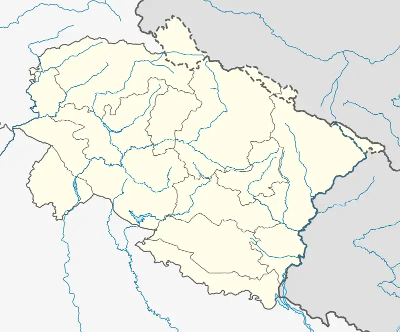
Chandrabani is a village in the suburb of Dehradun, Dehradun District, Uttarakhand, India. It is located near the state boundary with Uttar Pradesh, approximately 6 kilometres southwest of the urban center of Dehradun. In the year 2011, it has a total population of 9,954.[1]
Geography
Chandrabani is located on the southern bank of Assan River. It is connected to the Saharanpur Road. Its average elevation is 607 metres above the sea level.[2]
Demographics
According to the 2011 Census of India, there are a total of 2,131 households in Chandrabani. Out of the 9,954 inhabitants, 5,211 are male and 4,743 are female. The overall literacy rate is 76.30%, with 4,208 of the male population and 3,387 of the female population being literate.[1]
References
- 1 2 "Basic Population Figures of India, States, Districts, Sub-District and Village, 2011". censusindia.gov.in. Archived from the original on 2 March 2023. Retrieved 17 April 2023.
- ↑ "Chandrabani topographic map, elevation, terrain". Topographic maps. Retrieved 17 April 2023.
This article is issued from Wikipedia. The text is licensed under Creative Commons - Attribution - Sharealike. Additional terms may apply for the media files.