Chandrapur | |
|---|---|
village | |
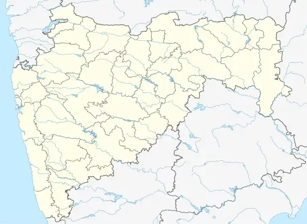 Chandrapur Location in Maharashtra, India | |
| Coordinates: 19°34′48″N 74°25′46″E / 19.58000°N 74.42944°E | |
| Country | |
| State | Maharashtra |
| District | Ahmednagar |
| Taluka | Rahata |
| Government | |
| • Type | Panchayati raj |
| • Body | Grampanchayat |
| Population (2011) | |
| • Total | 1,154 |
| Languages | |
| • Official | Marathi |
| Time zone | UTC+5:30 (IST) |
| PIN | 413736 |
| Telephone code | 02423 |
| Vehicle registration | MH-17 |
Chandrapur, is a village in Rahata taluka of Ahmednagar district in the Indian state of Maharashtra. It is located in south-west part of Rahata taluka and borders with Sangamner taluka.
Population
The population of Chandrapur village is 1154 as of the 2011 census. 598 are males and 556 are females.[1]
Economy
Most of the people are engaged in agriculture and some are working in market town Loni.
Transport
Road
Loni-Sangamner Road passes from village which connects Sangamner, Loni and Shrirampur.
See also
References
- ↑ "Census of India 2011". Census of India. Registrar General & Census Commissioner. Retrieved 22 October 2018.
This article is issued from Wikipedia. The text is licensed under Creative Commons - Attribution - Sharealike. Additional terms may apply for the media files.