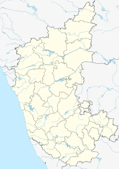
Changadihalli | |
|---|---|
Village | |
| Changadihalli | |
 Changadihalli Location in Karnataka, India | |
| Coordinates: 12°43′51″N 75°50′51″E / 12.730813°N 75.847584°E | |
| Country | |
| State | Karnataka |
| District | Hassan |
| Taluk | Sakleshpura |
| Government | |
| • Body | Grama Panchayath |
| Area | |
| • Total | 2.1382 km2 (0.8256 sq mi) |
| Elevation | 964 m (3,163 ft) |
| Population (2011) | |
| • Total | 641 [1] |
| Languages | |
| • Official | Kannada |
| Time zone | UTC+5:30 (IST) |
| PIN | 573137 |
| Vehicle registration | KA-46, KA-13 |
Changadihalli is a village in Sakleshpura taluk in Hassan district of Karnataka, India.
It lies on the junction of State Highway 8 and State Highway 112.[2][3] Changadihalli is located 38 km from taluk headquarter Sakleshpura, 58 km from district headquarter Hassan and 217 km from the state capital Bengaluru.
Tourism attractions
References
- ↑ "Census Data Handbook 2011" (PDF). Retrieved 1 September 2023.
- ↑ "Hirisave-Chettalli Highway" (PDF). Retrieved 6 September 2023.
- ↑ "Belur-Somwarpet Highway" (PDF). Retrieved 6 September 2023.
This article is issued from Wikipedia. The text is licensed under Creative Commons - Attribution - Sharealike. Additional terms may apply for the media files.