| Chawpi Tiyana | |
|---|---|
 Chawpi Tiyana Peru | |
| Highest point | |
| Elevation | 5,000 m (16,000 ft)[1] |
| Coordinates | 14°22′45″S 71°03′01″W / 14.37917°S 71.05028°W |
| Geography | |
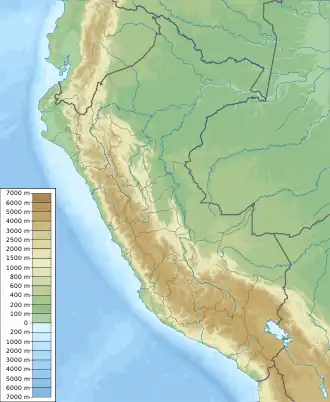
| Location | Peru, Cusco Region |
| Parent range | Andes, La Raya |
Chawpi Tiyana (Quechua chawpi central, middle, tiyana seat,[2] "central seat", hispanicized spelling Chaupitiana) is a mountain in the La Raya mountain range in the Andes of Peru, about 5,000 m (16,000 ft) high. It is located in the Cusco Region, Canchis Province, Marangani District. It lies southwest of Kuntur Quta and south of Wiyachayuq.[1]
References
- 1 2 escale.minedu.gob.pe - UGEL map of the Melgar Province (Puno Region)
- ↑ Teofilo Laime Ajacopa (2007). Diccionario Bilingüe: Iskay simipi yuyayk’anch: Quechua – Castellano / Castellano – Quechua (PDF). La Paz, Bolivia.
{{cite book}}: CS1 maint: location missing publisher (link)
This article is issued from Wikipedia. The text is licensed under Creative Commons - Attribution - Sharealike. Additional terms may apply for the media files.