Cherokee, Tennessee | |
|---|---|
 Cherokee  Cherokee | |
| Coordinates: 36°12′26″N 83°29′52″W / 36.20722°N 83.49778°W | |
| Country | United States |
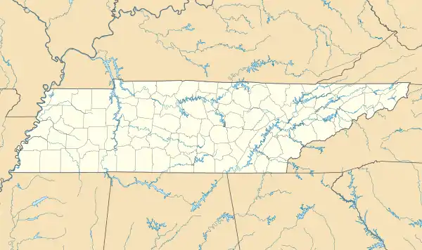
| State | Tennessee |
| County | Grainger |
| Elevation | 1,230 ft (375 m) |
| Time zone | UTC-5 (Eastern (EST)) |
| • Summer (DST) | UTC-4 (EDT) |
| ZIP code | 37861 |
| Area code | 865 |
| GNIS feature ID | 1314825[1] |
Cherokee (also known as Cherokee Village) is an unincorporated community in southern Grainger County, Tennessee.[1]
It is located at the intersection of Tennessee State Routes 92 and 375 near TVA's Cherokee Dam.
References
Municipalities and communities of Grainger County, Tennessee, United States | ||
|---|---|---|
| Cities | ||
| Town | ||
| Unincorporated communities | ||
| Footnotes | ‡This populated place also has portions in an adjacent county or counties | |
This article is issued from Wikipedia. The text is licensed under Creative Commons - Attribution - Sharealike. Additional terms may apply for the media files.