Chimmanchod
Chimmanchoda | |
|---|---|
village | |
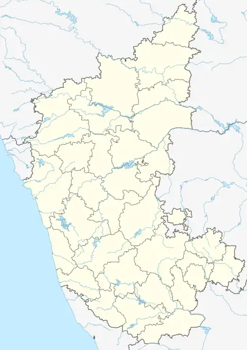 Chimmanchod Location in Karnataka, India  Chimmanchod Chimmanchod (India) | |
| Coordinates: 17°31′31″N 77°18′17″E / 17.5252300°N 77.304750°E | |
| Country | |
| State | Karnataka |
| District | Gulbarga |
| Taluka | Chincholi |
| Government | |
| • Type | Gram |
| • Body | Panchayat of Chimmanchod |
| Area | |
| • Total | 34 km2 (13 sq mi) |
| • Rank | 3rd: Chincholi Taluka |
| Elevation | 478 m (1,568 ft) |
| Population (2011) | |
| • Total | 5,988[1] |
| • Rank | 3rd: Chincholi Taluka |
| • Density | 174/km2 (450/sq mi) |
| Languages | |
| • Official | Kannada |
| Time zone | UTC+5:30 (IST) |
| Pin Code | 585306 |
| Vehicle registration | KA 32 |
Chimmanchod also spelled chimmanchoda is a village in the southern state of Karnataka, India[1][2] It is located in the Chincholi taluk of Kalaburagi district in Karnataka It's Famous For Many Historical Places And Dam
Demographics
As of 2021 India census, Chimmanchod[1] had a population of 9940 with 5450 males and 4490 females.
See also
References
- 1 2 3 "Chimmanchod Population - Gulbarga, Karnataka". www.census2011.co.in. Retrieved 30 April 2016.
- ↑ "Yahoomaps India :". Archived from the original on 18 December 2008. Retrieved 18 December 2008. Chimmanchod, Gulbarga, Karnataka
External links
District HQ: Kalaburagi | |
| Villages and Towns |
|
This article is issued from Wikipedia. The text is licensed under Creative Commons - Attribution - Sharealike. Additional terms may apply for the media files.