Chong-Sary-Oy
Чоң-Сары-Ой | |
|---|---|
 Chong-Sary-Oy | |
| Coordinates: 42°36′36″N 76°56′24″E / 42.61000°N 76.94000°E | |
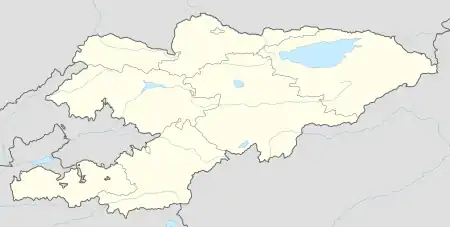
| Country | Kyrgyzstan |
| Region | Issyk-Kul Region |
| District | Issyk-Kul District |
| Elevation | 1,620 m (5,310 ft) |
| Population (2023) | |
| • Total | 3,430 |
| Time zone | UTC+6 |
Chong-Sary-Oy (Kyrgyz: Чоң-Сары-Ой) is a village in the Issyk-Kul Region of Kyrgyzstan. It is part of the Issyk-Kul District.[1] Its population was 3,328 in 2021.[2] This village marks the road and hiking border crossing between Kyrgyzstan and Kazakhstan known as Pereval Ozernyy. Its Kazakh counterpart is Almaty.[3]
References
- ↑ "Classification system of territorial units of the Kyrgyz Republic" (in Kyrgyz). National Statistics Committee of the Kyrgyz Republic. May 2021. pp. 12–14.
- ↑ "Population of regions, districts, towns, urban-type settlements, rural communities and villages of Kyrgyz Republic" (XLS) (in Russian). National Statistics Committee of the Kyrgyz Republic. 2021. Archived from the original on 10 November 2021.
- ↑ "Ozerny Pass: This road is not for timid drivers".
This article is issued from Wikipedia. The text is licensed under Creative Commons - Attribution - Sharealike. Additional terms may apply for the media files.