Choró | |
|---|---|
Municipality | |
| The Municipality of Choró | |
| Nickname: Choró Limão | |
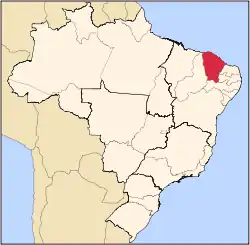
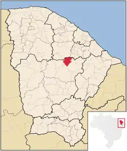 Location in the State of Ceará | |
 | |
| Coordinates: 04°50′36″S 39°08′28″W / 4.84333°S 39.14111°W | |
| Country | |
| Region | Northeast |
| State | |
| Founded | March 27, 1992 |
| Government | |
| • Mayor | Jose Antonio Rodrigues Mendes (Dé)(PSDB) |
| Area | |
| • Total | 815.759 km2 (314.966 sq mi) |
| Elevation | 243 m (797 ft) |
| Population (2020 [1]) | |
| • Total | 13,565 |
| • Density | 15.8/km2 (41/sq mi) |
| Time zone | UTC−3 (BRT) |
| HDI (2000) | 0.561 – medium |
Choró is a municipality located in the Brazilian state of Ceara. It is at an altitude of 243m, located on 04°50′36″S 39°08′28″W / 4.84333°S 39.14111°W. Its population was 13,565 (2020). The municipality has a surface area of approximately 792,7 km².
Neighborhoods
List of neighborhoods in Choró:
- Barbada - Farm
- Barreira Branca – Small Farm
- Boa Vista - Farm
- Caicarinha - District
- Centro - Seat
- Feijão - Settlement
- Maravilha - District
- Monte Castelo - District
- Olho D'agua – Small Farm
- Piemonte - Settlement
- Poço do Barro - Farm
- Santa Rita - Village
- São João - Settlement
- São José- Farm
- São Mateus – Small Farm
- Serra da Palha
- Serra do Teixeira
- Teodosio - Farm
References
External links
This article is issued from Wikipedia. The text is licensed under Creative Commons - Attribution - Sharealike. Additional terms may apply for the media files.