Chotian | |
|---|---|
Village | |
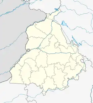 Chotian Location in Punjab, India  Chotian Chotian (India) | |
| Coordinates: 29°30′17″N 75°28′20″E / 29.5045906°N 75.4723422°E | |
| Country | |
| State | Punjab |
| District | Sangrur |
| Population (2011) | |
| • Total | 3,334[1] |
| Languages | |
| • Official | Punjabi (Gurmukhi) |
| • Regional | Punjabi |
| Time zone | UTC+5:30 (IST) |
| PIN | 148031[2] |
| Nearest city | Lehragaga |
Chotian (Gurmukhi: ਚੋਟੀਆਂ), is a village in the Sangrur district of Punjab, India.[3]
Geography
Chotian is located at 29°30′17″N 75°28′20″E / 29.5045906°N 75.4723422°E[4] in the Sangrur district of Indian Punjab.
Demographics
According to 2011 census, Total population of village is 3334[5] and number of houses are 637. Female Population is 47.4%. Literacy rate is 49.9% and the Female Literacy rate is 20.7%.
References
- ↑ "Census 2011 district sangrur".
- ↑ "Chotian BO Pin Code: Find Pin Code of Chotian BO locality of Punjab - NDTV.com". www.ndtv.com. Retrieved 2023-10-19.
- ↑ "DEO Sangrur" (PDF).
- ↑ Google maps
- ↑ "Combined Profile Summary". egramswaraj.gov.in. Retrieved 2023-10-19.
External links
This article is issued from Wikipedia. The text is licensed under Creative Commons - Attribution - Sharealike. Additional terms may apply for the media files.