| Clarke Creek Queensland | |||||||||||||||
|---|---|---|---|---|---|---|---|---|---|---|---|---|---|---|---|
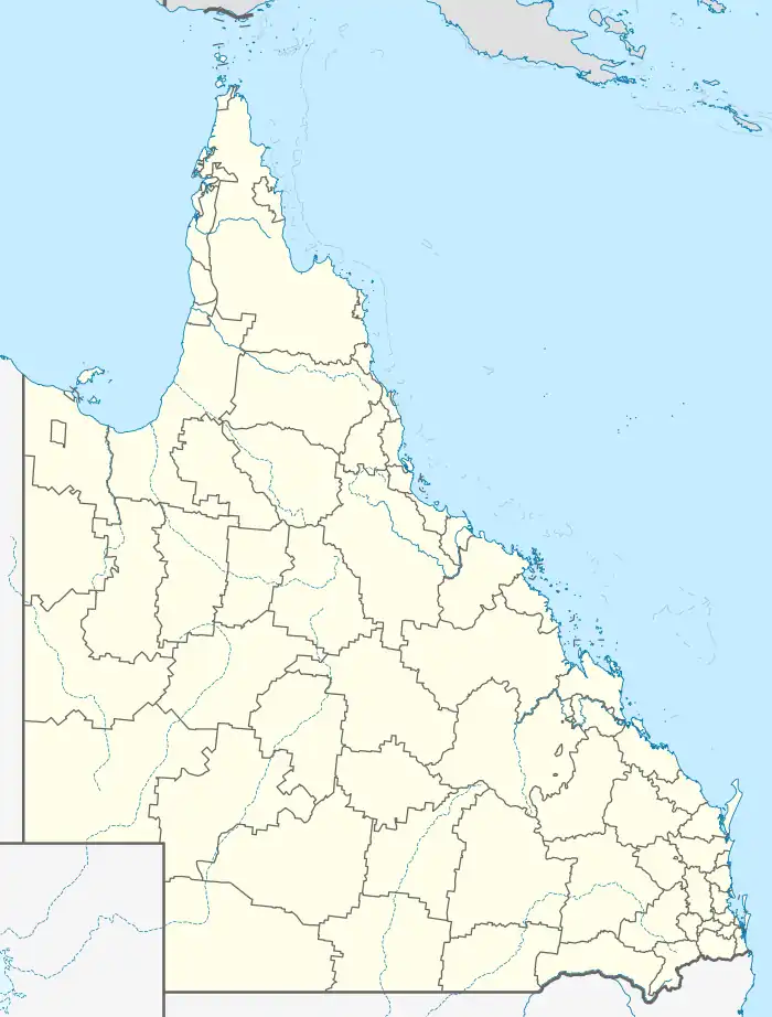  Clarke Creek | |||||||||||||||
| Coordinates | 22°43′30″S 149°18′50″E / 22.725°S 149.3138°E | ||||||||||||||
| Population | 32 (SAL 2021)[1] | ||||||||||||||
| Postcode(s) | 4705 | ||||||||||||||
| Area | 626.7 km2 (242.0 sq mi) | ||||||||||||||
| Time zone | AEST (UTC+10:00) | ||||||||||||||
| LGA(s) | Isaac Region | ||||||||||||||
| State electorate(s) | Mirani | ||||||||||||||
| Federal division(s) | Capricornia | ||||||||||||||
| |||||||||||||||
Clarke Creek is a locality in the Isaac Region, Queensland, Australia.[2] It is situated between Mackay and Rockhampton on the Old Bruce Highway. In the 2021 census, Clarke Creek had a population of 32 people.[3]
History
Clarke Creek State School opened on 17 May 1971.[4][5]
At the 2011 census, Clarke Creek was counted within the area of Valkyrie which had a population of 307.[6]
In the 2016 census, Clarke Creek had a population of 30 people.[7]
In the 2021 census, Clarke Creek had a population of 32 people.[3]
The Marlborough–Sarina Road runs through from south to north.[8]
Economy
Most of the citizens in the area own or work on cattle stations for a living. There is a service station which many car and truck drivers rely on. At the service station there is also a caravan park used by many temporary road workers in the area.
Education
Clarke Creek State School is a government primary (Prep-6) school for boys and girls at May Downs Road (22°38′11″S 149°15′10″E / 22.6365°S 149.2529°E).[9][10] In 2018, the school had an enrolment of 15 students with 3 teachers (2 full-time equivalent) and 6 non-teaching staff (2 full-time equivalent).[11] The school has a tennis court, swimming pool, oval, playground facilities and amenities.
There are no secondary schools in Clarke Creek nor nearby. Distance education and boarding school are options.[12]
Attractions
Clarke Creek is known for its campdrafting and many come to see this event.
References
- ↑ Australian Bureau of Statistics (28 June 2022). "Clarke Creek (suburb and locality)". Australian Census 2021 QuickStats. Retrieved 28 June 2022.
- ↑ "Clarke Creek (entry 47008)". Queensland Place Names. Queensland Government. Retrieved 6 May 2014.
- 1 2 Australian Bureau of Statistics (28 June 2022). "Clarke Creek (SAL)". 2021 Census QuickStats. Retrieved 28 February 2023.
- ↑ "Opening and closing dates of Queensland Schools". Queensland Government. Retrieved 6 May 2014.
- ↑ Queensland Family History Society (2010), Queensland schools past and present (Version 1.01 ed.), Queensland Family History Society, ISBN 978-1-921171-26-0
- ↑ Australian Bureau of Statistics (31 October 2012). "Valkyrie (State Suburb)". 2011 Census QuickStats. Retrieved 7 May 2014.
- ↑ Australian Bureau of Statistics (27 June 2017). "Clarke Creek (SSC)". 2016 Census QuickStats. Retrieved 20 October 2018.
- ↑ Google (11 December 2023). "Clarke Creek, Queensland" (Map). Google Maps. Google. Retrieved 11 December 2023.
- ↑ "State and non-state school details". Queensland Government. 9 July 2018. Archived from the original on 21 November 2018. Retrieved 21 November 2018.
- ↑ "Clarke Creek State School". Retrieved 21 November 2018.
- ↑ "ACARA School Profile 2018". Australian Curriculum, Assessment and Reporting Authority. Retrieved 28 January 2020.
- ↑ "Queensland Globe". State of Queensland. Retrieved 7 March 2023.