Corroy
Corr Ráithe | |
|---|---|
Village | |
 Corroy placename stone | |
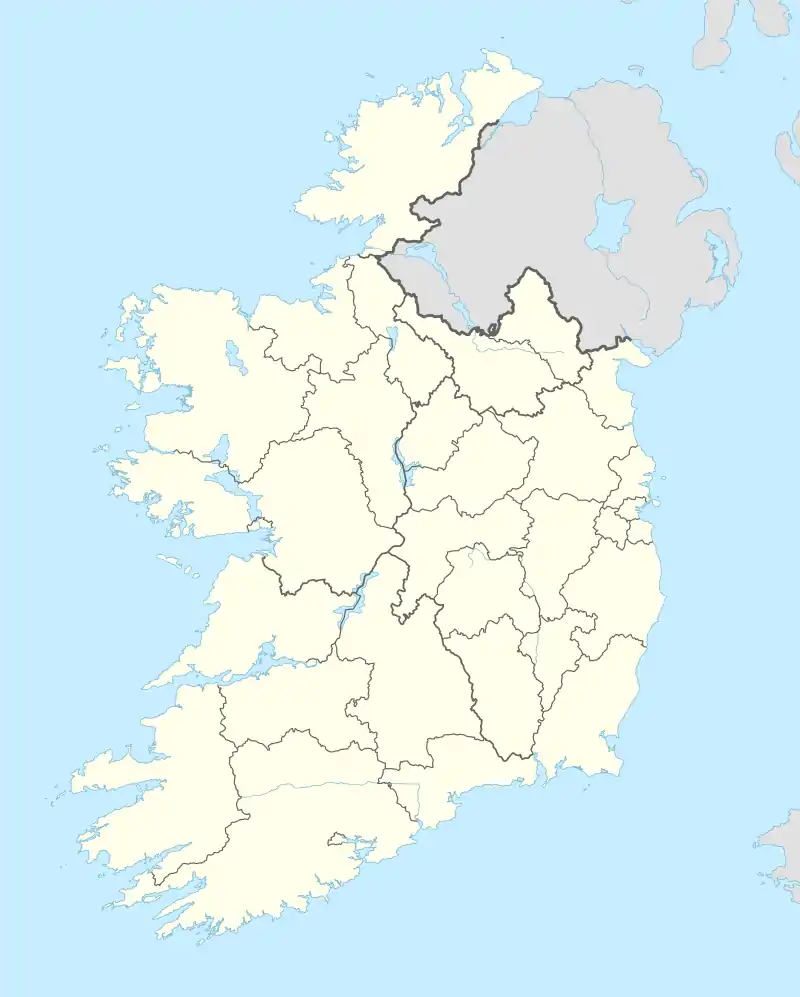 Corroy Location in Ireland | |
| Coordinates: 54°03′58″N 9°10′55″W / 54.066°N 9.182°W | |
| Country | Ireland |
| Province | Connacht |
| County | County Mayo |
| Elevation | 7 m (23 ft) |
| Time zone | UTC+0 (WET) |
| • Summer (DST) | UTC-1 (IST (WEST)) |
| Irish Grid Reference | G229135 |
Corroy (Irish: Corr Ráithe, meaning 'round-hill fort')[1] is a village in County Mayo in Ireland.[2] It lies on the R310 regional road between the town of Ballina and the village of Knockmore in the Parish of Backs.
See also
References
- ↑ "Corr Ráithe/Corroy". Placenames Database of Ireland (logainm.ie). Retrieved 11 October 2021.
- ↑ "Corroy Townland, Co. Mayo". www.townlands.ie. Retrieved 8 August 2021.
This article is issued from Wikipedia. The text is licensed under Creative Commons - Attribution - Sharealike. Additional terms may apply for the media files.